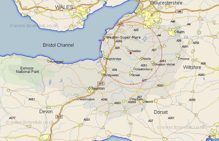
Somerset Map Showing Location of Draycott
District: Mendip
Easting: 347661 Northing: 150416
Latitude: 51.25 Longitude: -2.75
 = Draycott
Easting: 347661 Northing: 150416
Latitude: 51.25 Longitude: -2.75
= Draycott
This Draycott map below is supplied by Google. Use the tools in the top left corner to zoom into street level or zoom out for a road map, you may also need to zoom in to see Draycott on the map. Click and drag the map to move around. If the map fails to load try and refresh your browser or zoom in or out (+ or -).
Update - it seems Google no longer allow people to use their maps for free! This Draycott map sometimes loads and sometimes gives a error. I am working on a solution.
Closest 30 Towns or Cities to Draycott (Population over 500)
Priddy 1.16km Rodney Stoke 1.16km Cheddar 2.19km Westbury 2.97km Axbridge 5.08km Wedmore 5.94km Weare 6.09km Shipham 6.56km Wookey 7.24km Wells 7.89km Compton Martin 8.91km Blagdon 9.55km Meare 9.55km East Harptree 9.84km Churchill 9.89km Sandford 10.93km Banwell 10.99km Glastonbury 11km Mark 11.08km Chewton Mendip 11.75km Wrington 13.03km Locking 13.11km West Pennard 13.12km Congresbury 13.43km Ashcott 13.44km Chew Stoke 13.76km Shapwick 14.22km Lympsham 14.4km Hutton 14.75km Street 14.82km