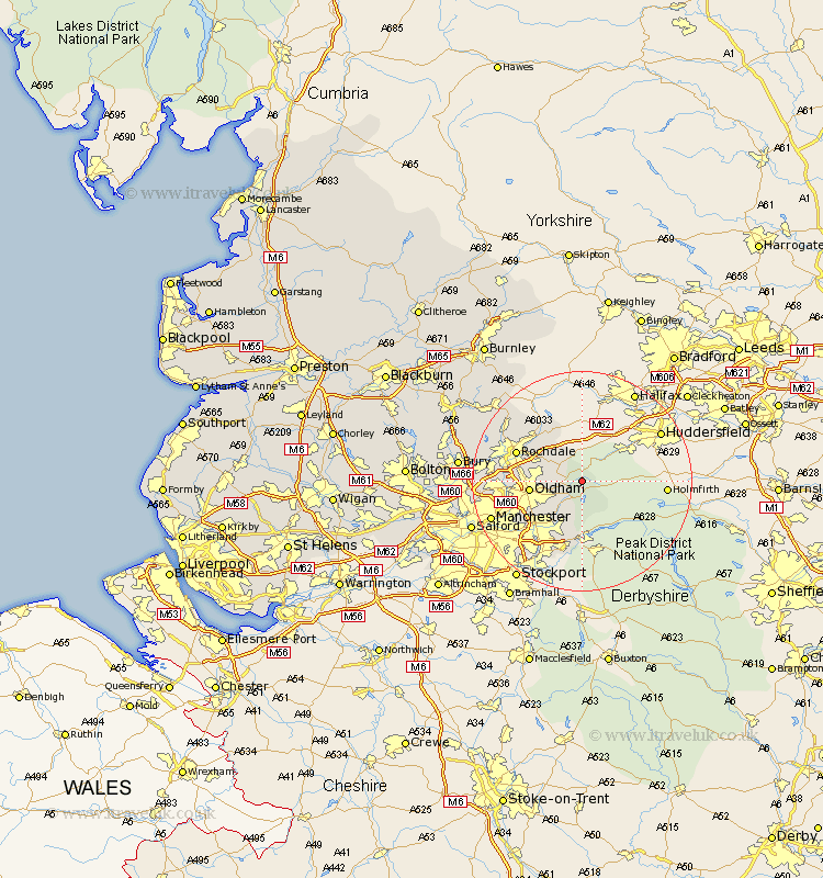
Lancashire Map Showing Location of Diggle
District: Oldham
Easting: 401103 Northing: 407814
Latitude: 53.57 Longitude: -1.98
 = Diggle
Easting: 401103 Northing: 407814
Latitude: 53.57 Longitude: -1.98
= Diggle
This Diggle map below is supplied by Google. Use the tools in the top left corner to zoom into street level or zoom out for a road map, you may also need to zoom in to see Diggle on the map. Click and drag the map to move around. If the map fails to load try and refresh your browser or zoom in or out (+ or -).
Update - it seems Google no longer allow people to use their maps for free! This Diggle map sometimes loads and sometimes gives a error. I am working on a solution.
Closest 30 Towns or Cities to Diggle (Population over 500)
Uppermill 2.11km Delph 2.2km Mossley 5.98km Shaw 6.6km Milnrow 8.54km Royton 8.81km Oldham 9km Littleborough 10.68km Ashton under Lyne 10.7km Ashton 10.7km Ashton-under-Lyne 10.7km Failsworth 11.36km Rochdale 12.33km Hollingworth 12.86km Wardle 13.55km Droylesden 14.4km Droylsden 14.4km Middleton 14.43km Heywood 15.52km Denton 15.69km Whitworth 16.12km Chadderton 16.33km Manchester 17.11km Bacup 19.84km Prestwich 20.16km Salford 20.9km Whitefield 21km Bury 21.23km Radcliffe 23.19km Ramsbottom 23.21km