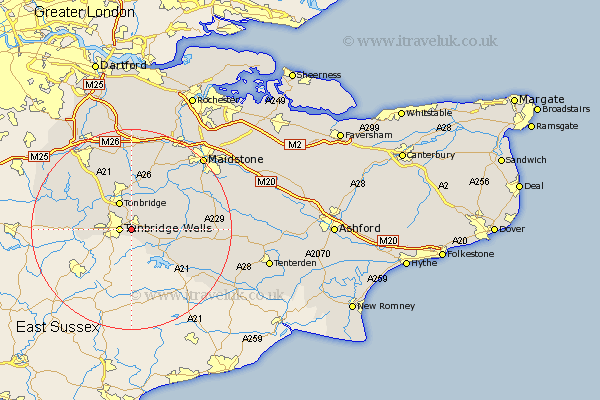
Kent Map Showing Location of Pembury
Population: 6163
Area Size (ha): 115
District: Tunbridge Wells
Easting: 562068 Northing: 139724
Latitude: 51.13 Longitude: 0.32
 = Pembury
Area Size (ha): 115
District: Tunbridge Wells
Easting: 562068 Northing: 139724
Latitude: 51.13 Longitude: 0.32
= Pembury
This Pembury map below is supplied by Google. Use the tools in the top left corner to zoom into street level or zoom out for a road map, you may also need to zoom in to see Pembury on the map. Click and drag the map to move around. If the map fails to load try and refresh your browser or zoom in or out (+ or -).
Update - it seems Google no longer allow people to use their maps for free! This Pembury map sometimes loads and sometimes gives a error. I am working on a solution.
Closest 30 Towns or Cities to Pembury (Population over 500)
Royal Tunbridge Wells 2.33km Tunbridge Wells 2.33km Turnbridge Wells 2.33km Brenchley 5.81km Paddock Wood 5.95km Tonbridge 6.03km Bidborough 6.1km Southborough 6.1km Speldhurst 6.98km Lamberhurst 7.25km Horsmonden 8.35km East Peckham 8.75km Leigh 8.92km Hadlow 9.35km Hildenborough 9.42km Penshurst 10.01km Goudhurst 10.02km Yalding 12.33km Plaxtol 13.03km Weald 13.13km Chiddingstone 13.32km Marden 13.32km Mereworth 13.44km Hunton 13.78km Wateringbury 14.73km Staplehurst 15.23km Hever 15.56km Cranbrook 16.12km Cowden 16.28km East Barming 16.66km