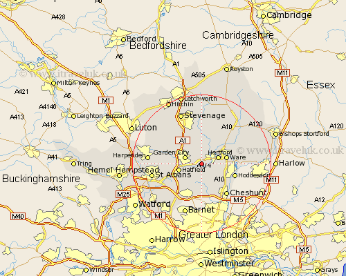
Hertfordshire Map Showing Location of Cole Green
District: East Hertfordshire
Easting: 528747 Northing: 211102
Latitude: 51.78 Longitude: -0.13
 = Cole Green
Easting: 528747 Northing: 211102
Latitude: 51.78 Longitude: -0.13
= Cole Green
This Cole Green map below is supplied by Google. Use the tools in the top left corner to zoom into street level or zoom out for a road map, you may also need to zoom in to see Cole Green on the map. Click and drag the map to move around. If the map fails to load try and refresh your browser or zoom in or out (+ or -).
Update - it seems Google no longer allow people to use their maps for free! This Cole Green map sometimes loads and sometimes gives a error. I am working on a solution.
Closest 30 Towns or Cities to Cole Green (Population over 500)
Hertingfordbury 2.29km Bishops Hatfield 2.94km Essendon 3.88km Tewin 3.89km Harmer Green 3.97km Welwyn Garden City 4.95km Garden City 4.95km Hertford 4.95km Stapleford 6.01km Brookmans Park 6.54km Hatfield 6.68km Little Amwell 6.88km Ware 7.12km Datchworth 7.5km Watton at Stone 7.76km Watton 7.76km Welwyn 7.98km Great Amwell 8.03km Knebworth 8.17km Cuffley 9.33km Thundridge 9.76km Colney Heath 9.77km Hoddesdon 9.89km Codicote 10.11km Stanstead Abbots 10.32km Wheathampstead 10.48km Little Munden 10.9km North Mymms 10.92km Aston 11.18km Bennington 11.35km