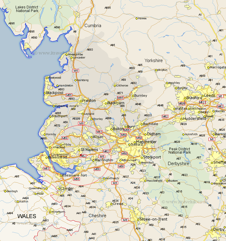
Lancashire Map Showing Location of Clock Face
District: St. Helens
Easting: 352373 Northing: 391367
Latitude: 53.42 Longitude: -2.72
 = Clock Face
Easting: 352373 Northing: 391367
Latitude: 53.42 Longitude: -2.72
= Clock Face
This Clock Face map below is supplied by Google. Use the tools in the top left corner to zoom into street level or zoom out for a road map, you may also need to zoom in to see Clock Face on the map. Click and drag the map to move around. If the map fails to load try and refresh your browser or zoom in or out (+ or -).
Update - it seems Google no longer allow people to use their maps for free! This Clock Face map sometimes loads and sometimes gives a error. I am working on a solution.
Closest 30 Towns or Cities to Clock Face (Population over 500)
Rainhull 3.8km Rainhill 3.8km St Helens 3.86km Saint Helens 3.86km St. Helens 3.86km Cronton 4.98km Prescott 5.52km Prescot 5.52km Eccleston 5.76km Haydock 6.47km Ashton 8.62km Ashton in Makerfield 8.62km Halewood 8.65km Huyton 9.03km Huyton with Roby 9.03km Billinge 9.33km Golborne 9.52km Knowsley 9.58km Rainford 12.41km Bickerstaffe 13.54km Skelmersdale 14.09km Abram 14.2km Kirkby 14.22km Ince 14.56km Wigan 14.56km Ince-in-Makerfield 14.56km Melling 15.17km Leigh 15.18km Aintree 15.39km Hindley 15.68km