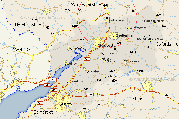
Gloucestershire Map Showing Location of Church End
District: Tewkesbury
Easting: 389707 Northing: 235421
Latitude: 52.02 Longitude: -2.15
 = Church End
Easting: 389707 Northing: 235421
Latitude: 52.02 Longitude: -2.15
= Church End
This Church End map below is supplied by Google. Use the tools in the top left corner to zoom into street level or zoom out for a road map, you may also need to zoom in to see Church End on the map. Click and drag the map to move around. If the map fails to load try and refresh your browser or zoom in or out (+ or -).
Update - it seems Google no longer allow people to use their maps for free! This Church End map sometimes loads and sometimes gives a error. I am working on a solution.
Closest 30 Towns or Cities to Church End (Population over 500)
Tewkesbury 1.86km Ashchurch 2.94km Deerhurst 6.53km Bishops Cleeve 9.36km Swindon 9.89km Alderton 10.92km Staverton 11.18km Southam 11.53km Ashleworth 12.24km Dumbleton 12.55km Cheltenham 13.76km Corse 13.84km Redmarley D'Abitot 14.19km Churchdown 14.88km Hartpury 15.14km Innsworth 15.22km Winchcomb 15.58km Winchcombe 15.58km Shurdington 16.83km Leckhampton 17.29km Charlton Kings 17.63km Brockworth 18.57km Hucclecote 18.68km Tibberton 18.87km Newent 19.47km Dymock 19.75km Gloucester 21.51km Andoversford 21.59km Huntley 23.91km Quedgeley 24.05km