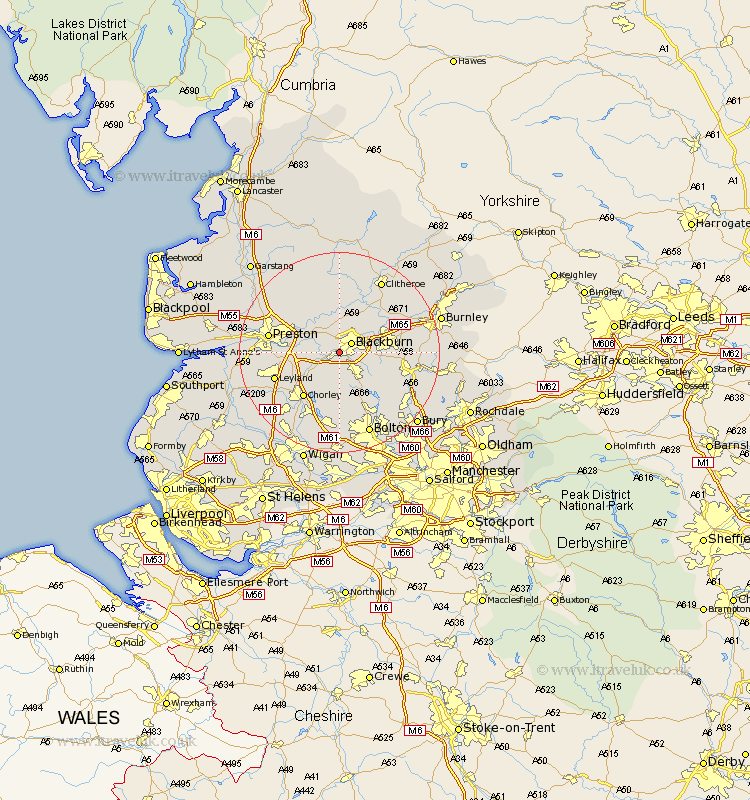
Lancashire Map Showing Location of Cherry Tree
Easting: 365919 Northing: 426471
Latitude: 53.73 Longitude: -2.52
 = Cherry Tree
Latitude: 53.73 Longitude: -2.52
= Cherry Tree
This Cherry Tree map below is supplied by Google. Use the tools in the top left corner to zoom into street level or zoom out for a road map, you may also need to zoom in to see Cherry Tree on the map. Click and drag the map to move around. If the map fails to load try and refresh your browser or zoom in or out (+ or -).
Update - it seems Google no longer allow people to use their maps for free! This Cherry Tree map sometimes loads and sometimes gives a error. I am working on a solution.
Closest 30 Towns or Cities to Cherry Tree (Population over 500)
Blackburn 2.87km Mellor 3.87km Withnell 4.3km Hoghton 4.76km Darwen 4.95km Wilpshire 5.98km Brinscall 6.46km Rishton 6.83km Ribchester 7.5km Samlesbury 7.55km Oswaldtwistle 7.67km Great Harwood 8.61km Langho 8.61km Church 8.96km Clayton le Moor 9.52km Clayton-le-Moors 9.52km Clayton le Moors 9.52km Heapey 9.91km Grimsargh 10.67km Chorley 11.36km Whalley 11.37km Accrington 11.57km Longridge 11.95km Farrington 12.2km Farington 12.2km Simonstone 12.29km Haslingden 12.62km Altham 13.28km Leyland 13.28km Turton 13.52km