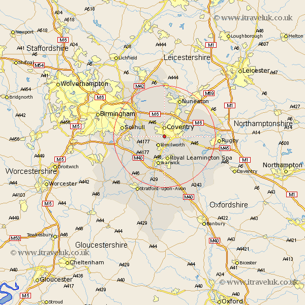
Warwickshire Map Showing Location of Canley
District: Coventry
Easting: 430625 Northing: 276278
Latitude: 52.38 Longitude: -1.55
 = Canley
Easting: 430625 Northing: 276278
Latitude: 52.38 Longitude: -1.55
= Canley
This Canley map below is supplied by Google. Use the tools in the top left corner to zoom into street level or zoom out for a road map, you may also need to zoom in to see Canley on the map. Click and drag the map to move around. If the map fails to load try and refresh your browser or zoom in or out (+ or -).
Update - it seems Google no longer allow people to use their maps for free! This Canley map sometimes loads and sometimes gives a error. I am working on a solution.
Closest 30 Towns or Cities to Canley (Population over 500)
Allesley 3.71km Coventry 3.71km Kenilworth 4.34km Stoneleigh 4.34km Baginton 4.89km Keresley 5.67km Berkeswell 5.95km Berkswell 5.95km Meriden 7.17km Corley 7.42km Bubbenhall 7.93km Temple Balsall 9.24km Leamington Spa 9.33km Royal Leamington Spa 9.33km Leamington 9.33km Fillongley 9.54km Brandon 10.35km Hampton in Arden 10.83km Bedworth 10.86km Warwick 11.35km Wolston 11.46km Hatton 11.49km Shrewley 12.19km Knowle 12.44km Shilton 12.59km Rowington 12.6km Bulkington 12.95km Arley 13.17km Bickenhill 13.52km Brinklow 13.7km