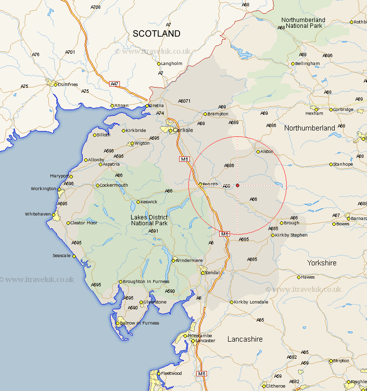
Cumbria Map Showing Location of Blencarn
District: Eden
Easting: 364529 Northing: 530331
Latitude: 54.67 Longitude: -2.55
 = Blencarn
Easting: 364529 Northing: 530331
Latitude: 54.67 Longitude: -2.55
= Blencarn
This Blencarn map below is supplied by Google. Use the tools in the top left corner to zoom into street level or zoom out for a road map, you may also need to zoom in to see Blencarn on the map. Click and drag the map to move around. If the map fails to load try and refresh your browser or zoom in or out (+ or -).
Update - it seems Google no longer allow people to use their maps for free! This Blencarn map sometimes loads and sometimes gives a error. I am working on a solution.
Closest 30 Towns or Cities to Blencarn (Population over 500)
Culgaith 3.71km Kirkby Thore 5.56km Long Marton 7.72km Long Marston 7.72km Langwathby 7.72km Appleby 11.92km Lasonby 12.15km Lazonby 12.15km Kirkoswald 14.71km Crosby Ravensworth 16.82km Shap 18.29km Ainstable 18.93km Dacre 19.06km Greystoke 20.45km Skelton 20.69km Orton 22.27km Brough 23.19km Kirkby Stephen 25.71km Tebay 27.88km Wetheral 28.06km Hayton 28.94km Farlam 29.08km Ravenstonedale 29.1km Hesket Newmarket 30.89km Irthington 32.74km Caldbeck 32.97km Dalston 33.41km Brampton 33.62km Carlisle 34.42km Stanwix 35.74km