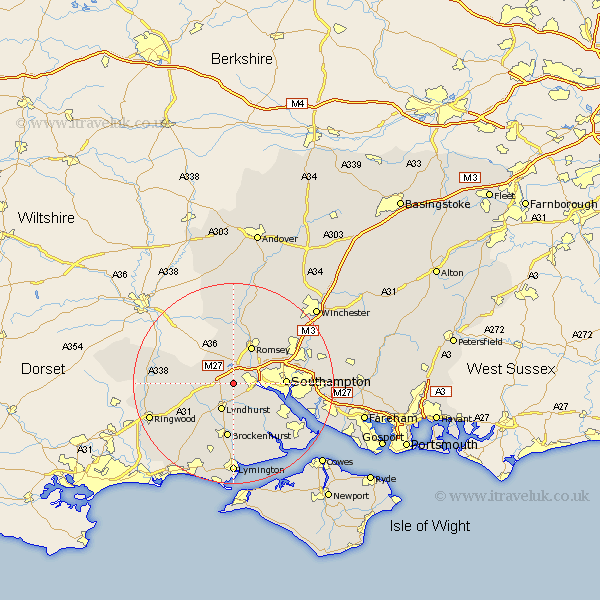
Hampshire Map Showing Location of Bartley
District: New Forest
Easting: 431629 Northing: 113184
Latitude: 50.92 Longitude: -1.55
 = Bartley
Easting: 431629 Northing: 113184
Latitude: 50.92 Longitude: -1.55
= Bartley
This Bartley map below is supplied by Google. Use the tools in the top left corner to zoom into street level or zoom out for a road map, you may also need to zoom in to see Bartley on the map. Click and drag the map to move around. If the map fails to load try and refresh your browser or zoom in or out (+ or -).
Update - it seems Google no longer allow people to use their maps for free! This Bartley map sometimes loads and sometimes gives a error. I am working on a solution.
Closest 30 Towns or Cities to Bartley (Population over 500)
Cadnam 2.34km Totton 4.67km Bramshaw 5.02km Eling 5.03km Minstead 5.11km West Wellow 6.03km Lyndhurst 6.03km Sherfield English 7.76km Romsey 8.19km Marchwood 8.98km Dibden 9.89km Chilworth 10.05km Southampton 10.52km Brockenhurst 11.18km Itchen 11.83km Hythe 11.9km Beaulieu 13.15km Bewley 13.15km Hale 13.37km Michelmersh 13.43km Michlemersh 13.43km Eastleigh 15.08km West End 15.19km Sway 15.24km Hursley 15.3km Burley 15.31km Bishopstoke 16.17km Ashurst 16.18km Netley Marsh 16.18km Netley 16.18km