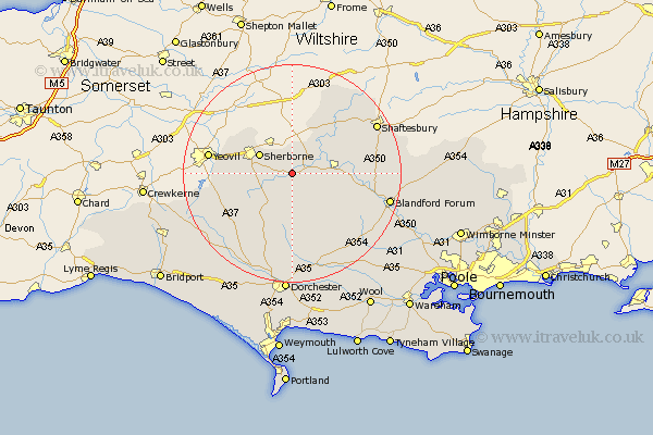
Dorset Map Showing Location of Bishops Caundle
District: West Dorset
Easting: 370712 Northing: 113170
Latitude: 50.92 Longitude: -2.42
 = Bishops Caundle
Easting: 370712 Northing: 113170
Latitude: 50.92 Longitude: -2.42
= Bishops Caundle
This Bishops Caundle map below is supplied by Google. Use the tools in the top left corner to zoom into street level or zoom out for a road map, you may also need to zoom in to see Bishops Caundle on the map. Click and drag the map to move around. If the map fails to load try and refresh your browser or zoom in or out (+ or -).
Update - it seems Google no longer allow people to use their maps for free! This Bishops Caundle map sometimes loads and sometimes gives a error. I am working on a solution.
Closest 30 Towns or Cities to Bishops Caundle (Population over 500)
Stalbridge 5.1km Sherbourne 6.91km Sherborne 6.91km Marnhull 8.94km Sturminster Newton 9.35km Buckland Newton 9.56km Yetminster 10.68km Leigh 10.88km Bradford Abbas 11.68km Shillingstone 11.83km Stour Provost 11.92km Child Okeford 12.85km Stour 13.15km East Stour 13.15km Cerne Abbas 13.44km Piddletrenthide 14.83km Puddletrenthide 14.83km Stourpaine 15.64km Winterborne Stickland 15.86km Stickland Winterborne 15.86km Milton Abbas 16km Iwerne Minster 16.46km Gillingham 16.69km Fontmell Magna 16.77km Bourton 17.67km Shaftesbury 17.78km Motcombe 17.88km Whitechurch 18.28km Blandford Forum 18.4km Blandford 18.4km