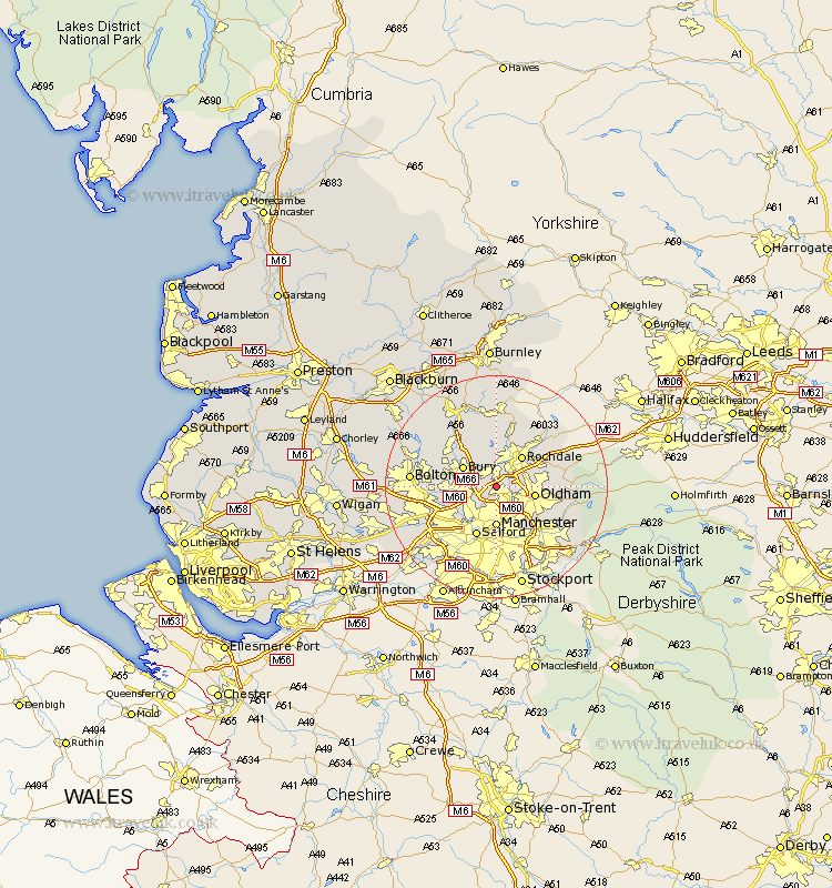
Lancashire Map Showing Location of Birch
District: Rochdale
Easting: 385651 Northing: 407836
Latitude: 53.57 Longitude: -2.22
 = Birch
Easting: 385651 Northing: 407836
Latitude: 53.57 Longitude: -2.22
= Birch
This Birch map below is supplied by Google. Use the tools in the top left corner to zoom into street level or zoom out for a road map, you may also need to zoom in to see Birch on the map. Click and drag the map to move around. If the map fails to load try and refresh your browser or zoom in or out (+ or -).
Update - it seems Google no longer allow people to use their maps for free! This Birch map sometimes loads and sometimes gives a error. I am working on a solution.
Closest 30 Towns or Cities to Birch (Population over 500)
Heywood 1.85km Middleton 2.16km Prestwich 5.76km Whitefield 5.81km Royton 6.6km Bury 6.63km Oldham 6.86km Rochdale 7.09km Manchester 7.42km Failsworth 7.83km Radcliffe 7.93km Tottington 8.54km Milnrow 8.55km Shaw 8.81km Pendlebury 9.5km Whitworth 9.52km Salford 9.84km Ramsbottom 9.92km Little Lever 10.08km Droylesden 10.27km Droylsden 10.27km Littleborough 10.68km Ashton 10.7km Ashton under Lyne 10.7km Ashton-under-Lyne 10.7km Wardle 10.77km Swinton 11.52km Kearsley 11.62km Eccles 12.06km Farnworth 12.25km