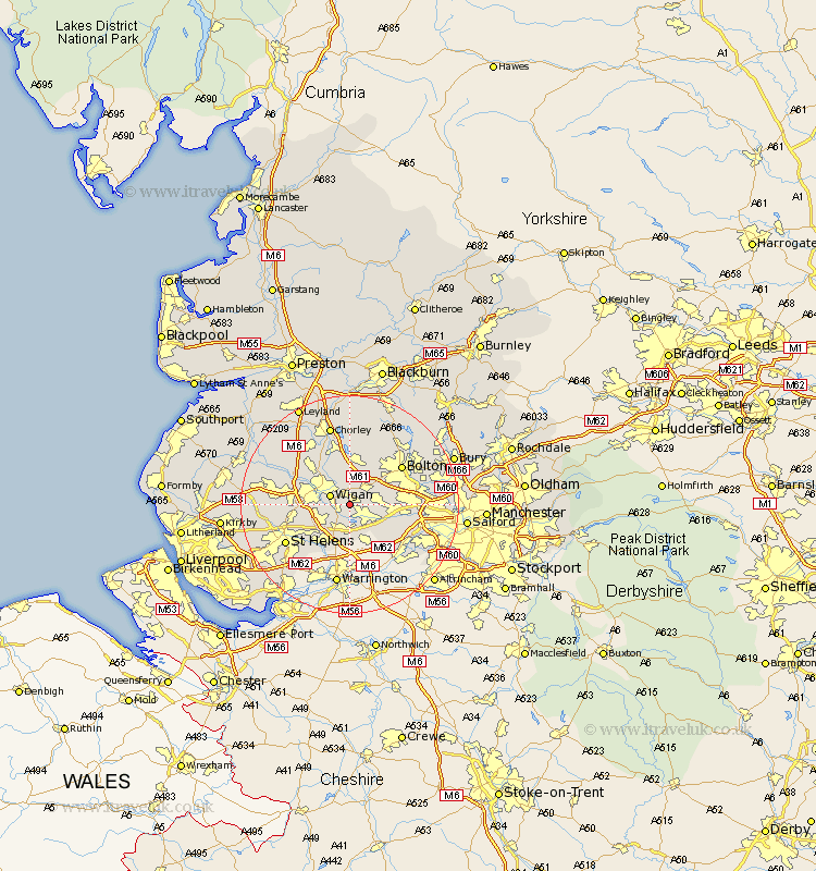
Lancashire Map Showing Location of Bickershaw
District: Wigan
Easting: 362429 Northing: 402401
Latitude: 53.52 Longitude: -2.57
 = Bickershaw
Easting: 362429 Northing: 402401
Latitude: 53.52 Longitude: -2.57
= Bickershaw
This Bickershaw map below is supplied by Google. Use the tools in the top left corner to zoom into street level or zoom out for a road map, you may also need to zoom in to see Bickershaw on the map. Click and drag the map to move around. If the map fails to load try and refresh your browser or zoom in or out (+ or -).
Update - it seems Google no longer allow people to use their maps for free! This Bickershaw map sometimes loads and sometimes gives a error. I am working on a solution.
Closest 30 Towns or Cities to Bickershaw (Population over 500)
Abram 1.1km Hindley 2.15km Ince 3.79km Wigan 3.79km Ince-in-Makerfield 3.79km Atherton 4.41km Westhoughton 4.96km Leigh 4.97km Golborne 5.98km Tyldesley 6.61km Ashton in Makerfield 6.64km Ashton 6.64km Blackrod 7.49km Haydock 8.64km Billinge 9.01km Horwich 9.33km Haigh 9.33km Shevington 9.5km Adlington 9.52km Standish 9.92km Walkden 11.02km Appley Bridge 11.36km Bolton 11.51km Farnworth 11.62km Kearsley 12.26km Coppull 12.41km St. Helens 13.29km Saint Helens 13.29km St Helens 13.29km Irlam 13.59km