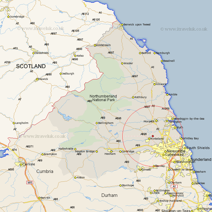
Northumberland Map Showing Location of Berwick Hill
District: Castle Morpeth
Easting: 418092 Northing: 574735
Latitude: 55.07 Longitude: -1.72
 = Berwick Hill
Easting: 418092 Northing: 574735
Latitude: 55.07 Longitude: -1.72
= Berwick Hill
This Berwick Hill map below is supplied by Google. Use the tools in the top left corner to zoom into street level or zoom out for a road map, you may also need to zoom in to see Berwick Hill on the map. Click and drag the map to move around. If the map fails to load try and refresh your browser or zoom in or out (+ or -).
Update - it seems Google no longer allow people to use their maps for free! This Berwick Hill map sometimes loads and sometimes gives a error. I am working on a solution.
Closest 30 Towns or Cities to Berwick Hill (Population over 500)
Ponteland 2.82km Dinnington 2.82km Stannington 4.88km Woolsington 5.95km Dudley 7.99km Cramlington 8.49km Gosforth 9.78km Hepscott 10.19km Stamfordham 10.25km Killingworth 10.25km Shiremoor 10.36km Seghill 10.78km Bedlington 11.1km Newburn 11.17km Morpeth 11.32km Longbenton 12.1km Long Benton 12.1km Pegswood 12.32km Seaton Delaval 12.73km Wallsend on Tyne 13.04km Wallsend-on-Tyne 13.04km Wallsend 13.04km Hebron 13.14km Newcastle on Tyne 13.38km Newcastle upon Tyne 13.38km Newcastle-on-Tyne 13.38km Newcastle 13.38km Ashington 13.62km Wylam 14km Blyth 14.21km