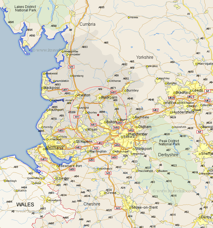
Lancashire Map Showing Location of Belmont
Easting: 366941 Northing: 415339
Latitude: 53.63 Longitude: -2.5
 = Belmont
Latitude: 53.63 Longitude: -2.5
= Belmont
This Belmont map below is supplied by Google. Use the tools in the top left corner to zoom into street level or zoom out for a road map, you may also need to zoom in to see Belmont on the map. Click and drag the map to move around. If the map fails to load try and refresh your browser or zoom in or out (+ or -).
Update - it seems Google no longer allow people to use their maps for free! This Belmont map sometimes loads and sometimes gives a error. I am working on a solution.
Closest 30 Towns or Cities to Belmont (Population over 500)
Horwich 4.96km Turton 6.59km Haigh 6.63km Brinscall 7.09km Bolton 7.09km Adlington 7.56km Bromley Cross 7.56km Bradshaw 7.56km Darwen 7.73km Blackrod 7.82km Chorley 7.91km Withnell 8.12km Heapey 8.54km Westhoughton 9.33km Coppull 10.06km Hoghton 10.78km Euxton 11.14km Farnworth 11.37km Tottington 11.6km Ramsbottom 12.09km Standish 12.32km Hindley 12.41km Little Lever 12.78km Oswaldtwistle 12.92km Atherton 12.97km Blackburn 13.02km Tyldesley 13.15km Haslingden 13.25km Kearsley 13.53km Ince-in-Makerfield 13.53km