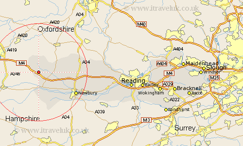
Berkshire Map Showing Location of Astley
Easting: 432401 Northing: 176195
Latitude: 51.48 Longitude: -1.53
 = Astley
Latitude: 51.48 Longitude: -1.53
= Astley
This Astley map below is supplied by Google. Use the tools in the top left corner to zoom into street level or zoom out for a road map, you may also need to zoom in to see Astley on the map. Click and drag the map to move around. If the map fails to load try and refresh your browser or zoom in or out (+ or -).
Update - it seems Google no longer allow people to use their maps for free! This Astley map sometimes loads and sometimes gives a error. I am working on a solution.
Closest 30 Towns or Cities to Astley (Population over 500)
East Garston 3.46km Lambourn 3.71km Great Shefford 6.06km West Shefford 6.06km Shefford 6.06km Hungerford 7.49km Welford 9.95km Kintbury 13.1km Inkpen 13.42km Chieveley 15.46km Speen 15.72km Newbury 17.64km East Ilsley 18.17km Shaw 18.64km Hermitage 18.84km Compton 19.96km Greenham 20.59km Thatcham 20.67km Cold Ash 20.98km Bucklebury 23.75km Streatley 26.79km Brimpton 27.51km Beenham 27.58km Bradfield 28.27km Aldermaston 28.81km Basildon 28.91km Pangbourne 31.16km Theale 32.81km Tilehurst 34.83km Burghfield 35.87km