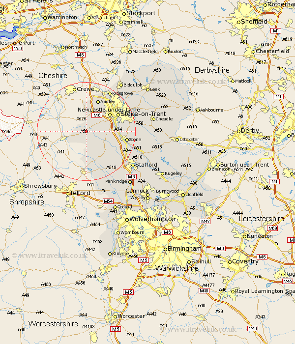
Staffordshire Map Showing Location of Ashley
District: Newcastle-under-Lyme
Easting: 375357 Northing: 337420
Latitude: 52.93 Longitude: -2.37
 = Ashley
Easting: 375357 Northing: 337420
Latitude: 52.93 Longitude: -2.37
= Ashley
This Ashley map below is supplied by Google. Use the tools in the top left corner to zoom into street level or zoom out for a road map, you may also need to zoom in to see Ashley on the map. Click and drag the map to move around. If the map fails to load try and refresh your browser or zoom in or out (+ or -).
Update - it seems Google no longer allow people to use their maps for free! This Ashley map sometimes loads and sometimes gives a error. I am working on a solution.
Closest 30 Towns or Cities to Ashley (Population over 500)
Standon 5.88km Whitmore 6.7km Madeley 7.75km Keele 9.28km Swinnerton 10.22km Swynnerton 10.22km Silverdale 10.82km Betley 11.12km Adbaston 11.17km High Offley 11.34km Newcastle-under-Lyme 11.61km Newcastle under Lyme 11.61km Eccleshall 12.13km Barlaston 13.53km Audley 13.72km Stoke upon Trent 14.34km Stoke 14.34km Stoke-upon-Trent 14.34km Stoke on Trent 14.34km Stoke-on-Trent 14.34km Stone 16.08km Seighford 17.87km Gnossall 18.43km Gnosall 18.43km Kidsgrove 18.91km Hilderstone 19.08km Haughton 20.09km Fulford 20.19km Caverswall 20.85km Hopton 21.07km