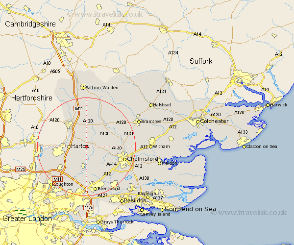
Highlands Map Showing Location of Abbess Roding
District: Epping Forest
Easting: 556333 Northing: 211884
Latitude: 51.78 Longitude: 0.27
 = Abbess Roding
Easting: 556333 Northing: 211884
Latitude: 51.78 Longitude: 0.27
= Abbess Roding
This Abbess Roding map below is supplied by Google. Use the tools in the top left corner to zoom into street level or zoom out for a road map, you may also need to zoom in to see Abbess Roding on the map. Click and drag the map to move around. If the map fails to load try and refresh your browser or zoom in or out (+ or -).
Update - it seems Google no longer allow people to use their maps for free! This Abbess Roding map sometimes loads and sometimes gives a error. I am working on a solution.
Closest 30 Towns or Cities to Abbess Roding (Population over 500)
Kinlochleven 643.43km Ballachulish 645.57km Ballachuhsh 645.57km Kingussie 651.81km Newtonmore 652.49km Aviemore 657.66km Fort William 659.3km Grantown on Spey 664.04km Grantown 664.04km Grantown-on-Spey 664.04km Boat of Garten 668.58km Fort Augustus 675.07km Drumnadrochit 688.56km Auldearn 694.3km Croy 694.62km Inverness 694.83km Nairn 697.2km North Kessock 698.59km Campbelltown 699.65km Ardersier 699.65km Mallaig Beg 701.15km Mallaig 701.15km Beauly 701.18km Avoch 703.06km Fortrose 703.87km Rosemarkie 705.12km Muir of Ord 705.65km Cononbridge 708.49km Conan Bridge 708.49km Cromarty 709.74km