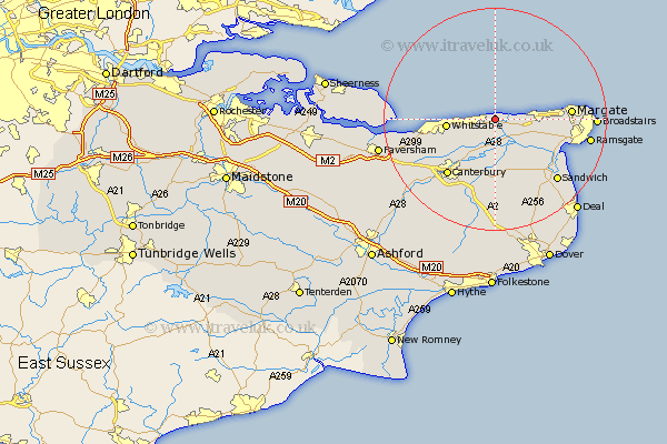
Kent Map Showing Location of Bishopstone
District: Canterbury
Easting: 622121 Northing: 168417
Latitude: 51.37 Longitude: 1.19
 = Bishopstone
Easting: 622121 Northing: 168417
Latitude: 51.37 Longitude: 1.19
= Bishopstone
This Bishopstone map below is supplied by Google. Use the tools in the top left corner to zoom into street level or zoom out for a road map, you may also need to zoom in to see Bishopstone on the map. Click and drag the map to move around. If the map fails to load try and refresh your browser or zoom in or out (+ or -).
Update - it seems Google no longer allow people to use their maps for free! This Bishopstone map sometimes loads and sometimes gives a error. I am working on a solution.
Closest 30 Towns or Cities to Bishopstone (Population over 500)
Broomfield 3.61km Herne Bay 4.07km Chislet 4.21km Hoath 4.52km St Nicholas at Wade 4.66km Saint Nicholas at Wade 4.66km St. Nicholas at Wade 4.66km Birchington 7.53km Monkton 7.61km Preston 8.39km Whitstable 8.55km Chestfield 8.98km Minster 10.56km Sturry 11.04km Wingham 11.7km Littlebourne 11.71km Hackington 12.3km Manston 12.37km Blean 12.6km Canterbury 13.31km Margate 13.61km Staple 14.03km Harbledown 14.69km Saint Peters 15.63km St. Peter Extra 15.63km Thanet 15.63km St Peters 15.63km St. Peters 15.63km St Peter Extra 15.63km Saint Peter's 15.63km