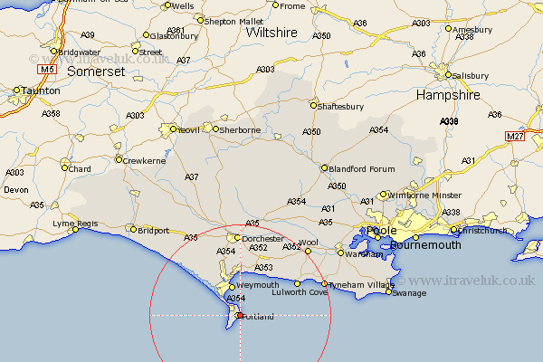
Dorset Map Showing Location of Grove
District: Weymouth and Portland
Easting: 369893 Northing: 72400
Latitude: 50.55 Longitude: -2.43
 = Grove
Easting: 369893 Northing: 72400
Latitude: 50.55 Longitude: -2.43
= Grove
This Grove map below is supplied by Google. Use the tools in the top left corner to zoom into street level or zoom out for a road map, you may also need to zoom in to see Grove on the map. Click and drag the map to move around. If the map fails to load try and refresh your browser or zoom in or out (+ or -).
Update - it seems Google no longer allow people to use their maps for free! This Grove map sometimes loads and sometimes gives a error. I am working on a solution.
Closest 30 Towns or Cities to Grove (Population over 500)
Island of Portland 0.59km Isle of Portland 0.59km Portland 0.59km Fortuneswell 1.77km Weston 1.99km Easton 2.56km Weymouth 6.9km West Chickerel 9.11km Chickerell 9.11km Overcombe 9.59km Osmington 10.14km Preston 11.14km Bincombe 11.26km Upton 11.57km West Lulworth 14.41km Lulworth Cove 14.41km Broadmayne 15.11km Winfrith Newburgh 15.76km Winfrith 15.76km Portisham 16.38km Portesham 16.38km Abbotsbury 17.91km Dorchester 18.55km Charminster 20.46km Bovington Camp 20.75km Wool 21.14km Puddletown 22.86km Piddletown 22.86km Puddletrenthide 25.95km Piddletrenthide 25.95km