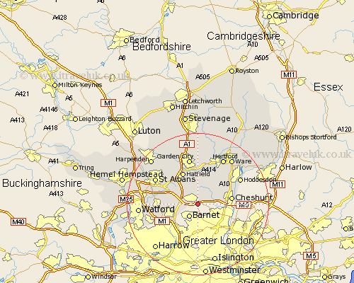
Hertfordshire Map Showing Location of Potters Bar
Population: 21980
Area Size (ha): 555
District: Hertsmere
Easting: 526728 Northing: 199924
Latitude: 51.68 Longitude: -0.17
 = Potters Bar
Area Size (ha): 555
District: Hertsmere
Easting: 526728 Northing: 199924
Latitude: 51.68 Longitude: -0.17
= Potters Bar
This Potters Bar map below is supplied by Google. Use the tools in the top left corner to zoom into street level or zoom out for a road map, you may also need to zoom in to see Potters Bar on the map. Click and drag the map to move around. If the map fails to load try and refresh your browser or zoom in or out (+ or -).
Update - it seems Google no longer allow people to use their maps for free! This Potters Bar map sometimes loads and sometimes gives a error. I am working on a solution.
Closest 30 Towns or Cities to Potters Bar (Population over 500)
Cuffley 3.91km Brookmans Park 5.68km North Mymms 6.84km Shenley 6.89km Essendon 7.51km Borehamwood 7.83km Colney Heath 7.99km London Olney 8.86km London Colney 8.86km Bishops Hatfield 9.27km Cheshunt 9.38km Elstree 9.78km Hatfield 10.15km Radlett 10.34km Hertingfordbury 12.03km Aldenham 12.78km Sandridge 13.05km Welwyn Garden City 13.18km Garden City 13.18km Hoddesdon 13.67km St Albans 13.67km St. Albans 13.67km Saint Albans 13.67km Bushey 13.81km Little Amwell 14.42km Hertford 14.69km Tewin 14.88km Harmer Green 15.12km Great Amwell 15.18km Wheathampstead 15.26km