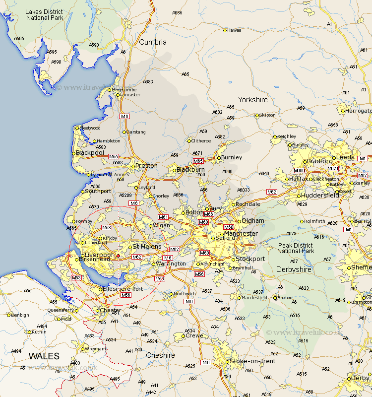
Lancashire Map Showing Location of Prescot
Population: 37336
Area Size (ha): 790
District: Knowsley
Easting: 346835 Northing: 391426
Latitude: 53.42 Longitude: -2.8
 = Prescot
Area Size (ha): 790
District: Knowsley
Easting: 346835 Northing: 391426
Latitude: 53.42 Longitude: -2.8
= Prescot
This Prescot map below is supplied by Google. Use the tools in the top left corner to zoom into street level or zoom out for a road map, you may also need to zoom in to see Prescot on the map. Click and drag the map to move around. If the map fails to load try and refresh your browser or zoom in or out (+ or -).
Update - it seems Google no longer allow people to use their maps for free! This Prescot map sometimes loads and sometimes gives a error. I am working on a solution.
Closest 30 Towns or Cities to Prescot (Population over 500)
Rainhull 2.89km Rainhill 2.89km Huyton 3.8km Huyton with Roby 3.8km Eccleston 3.86km Cronton 4.32km Knowsley 4.97km Halewood 5.67km St Helens 5.76km Saint Helens 5.76km St. Helens 5.76km Kirkby 9.93km Aintree 10.43km Haydock 10.44km Melling 10.7km Rainford 11.12km Bickerstaffe 11.34km Billinge 11.39km Ashton 12.39km Ashton in Makerfield 12.39km Skelmersdale 12.97km Liverpool 13.25km Golborne 14.37km Litherland 14.37km Sefton 14.41km Maghull 14.91km Aughton 15.09km Bootle 15.39km Lydiate 15.66km Thornton 16.16km