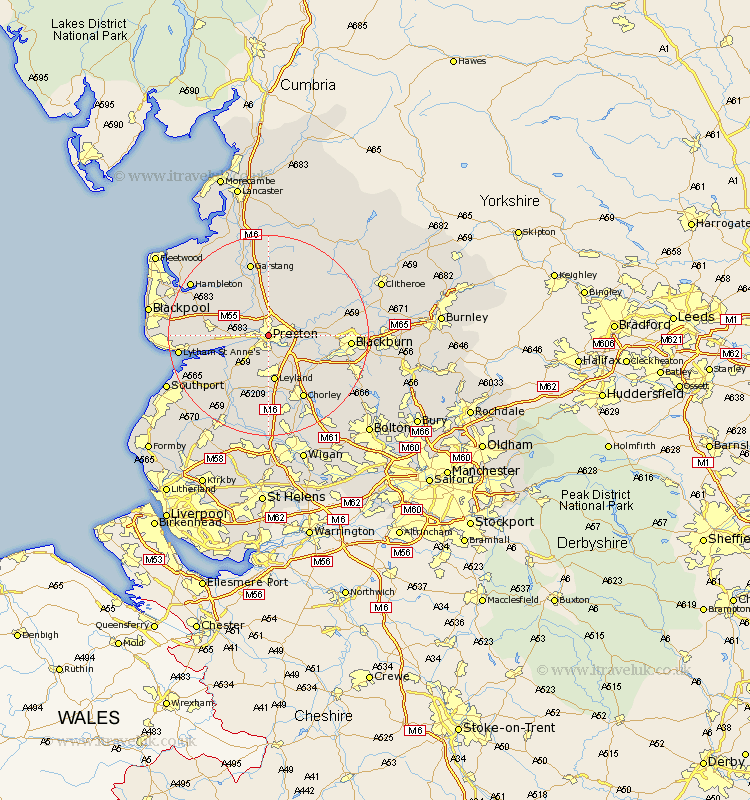
Lancashire Map Showing Location of Preston
Population: 177472
Area Size (ha): 4558
District: Preston
Easting: 352765 Northing: 430301
Latitude: 53.77 Longitude: -2.72
 = Preston
Area Size (ha): 4558
District: Preston
Easting: 352765 Northing: 430301
Latitude: 53.77 Longitude: -2.72
= Preston
This Preston map below is supplied by Google. Use the tools in the top left corner to zoom into street level or zoom out for a road map, you may also need to zoom in to see Preston on the map. Click and drag the map to move around. If the map fails to load try and refresh your browser or zoom in or out (+ or -).
Update - it seems Google no longer allow people to use their maps for free! This Preston map sometimes loads and sometimes gives a error. I am working on a solution.
Closest 30 Towns or Cities to Preston (Population over 500)
Penwortham 2.16km Woodplumpton 4.3km Hutton 4.96km Lea Town 5.48km Lea 5.48km Farington 5.67km Farrington 5.67km Broughton 5.67km Barton 5.67km Goosnargh 6.46km Samlesbury 6.57km Grimsargh 6.61km Longton 7.81km Much Hoole 9.22km Hoole 9.22km Leyland 9.34km Kirkham 10.03km Freckleton 10.03km Hoghton 10.38km Inskip 10.66km Warton 10.95km Claughton on Brock 11.12km Claughton-on-Brock 11.12km Claughton 11.12km Longridge 11.47km Catterall 11.59km Mellor 12.05km Bretherton 12.4km Ribchester 12.6km Heapey 12.92km