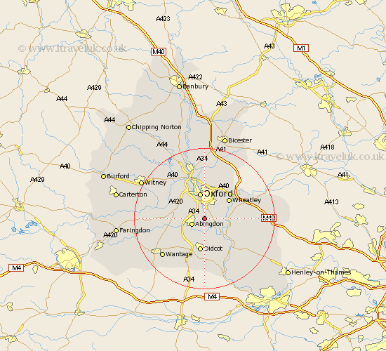
Oxfordshire Map Showing Location of Radley
Population: 2774
District: Vale of White Horse
Easting: 452997 Northing: 198615
Latitude: 51.68 Longitude: -1.23
 = Radley
District: Vale of White Horse
Easting: 452997 Northing: 198615
Latitude: 51.68 Longitude: -1.23
= Radley
This Radley map below is supplied by Google. Use the tools in the top left corner to zoom into street level or zoom out for a road map, you may also need to zoom in to see Radley on the map. Click and drag the map to move around. If the map fails to load try and refresh your browser or zoom in or out (+ or -).
Update - it seems Google no longer allow people to use their maps for free! This Radley map sometimes loads and sometimes gives a error. I am working on a solution.
Closest 30 Towns or Cities to Radley (Population over 500)
Sunningwell 3.45km Littlemore 3.88km Abingdon 3.91km Abingdon-on-Thames 3.91km Abingdon on Thames 3.91km Clifton Hampden 4.36km Wootton 4.95km Long Wittenham 5.56km Sutton Courtenay 6.02km Garsington 6.04km North Hinksey 6.54km Stadhampton 7.14km Dorchester 7.22km Drayton 7.22km Oxford 7.5km Cuddesdon 7.83km Cumnor 7.83km Drayton St. Leonard 7.83km Drayton St Leonard 7.83km Drayton 7.83km Drayton Saint Leonard 7.83km Marcham 7.83km Milton 8.72km Wheatley 8.85km Didcot 9.34km Steventon 9.38km Benson 9.78km Harwell 9.89km Warborough 10.12km Milton 10.98km