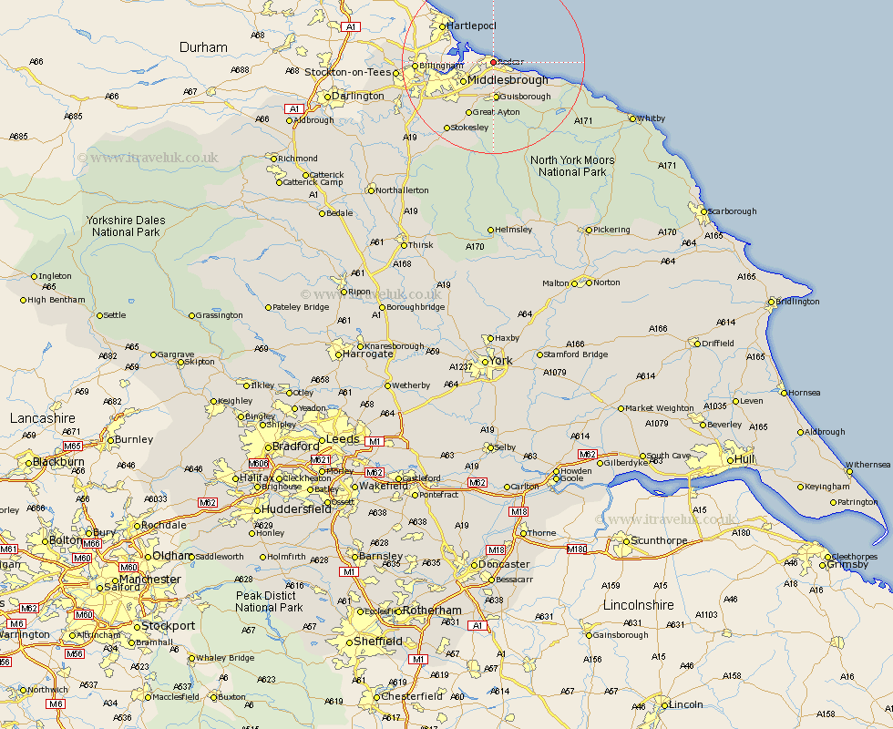
Yorkshire Map Showing Location of Redcar
Population: 35230
Area Size (ha): 730
Easting: 460745 Northing: 524012
Latitude: 54.61 Longitude: -1.06
 = Redcar
Area Size (ha): 730
Easting: 460745 Northing: 524012
Latitude: 54.61 Longitude: -1.06
= Redcar
This Redcar map below is supplied by Google. Use the tools in the top left corner to zoom into street level or zoom out for a road map, you may also need to zoom in to see Redcar on the map. Click and drag the map to move around. If the map fails to load try and refresh your browser or zoom in or out (+ or -).
Update - it seems Google no longer allow people to use their maps for free! This Redcar map sometimes loads and sometimes gives a error. I am working on a solution.
Closest 30 Towns or Cities to Redcar (Population over 500)
Redcar 0km Marske by the Sea 3.16km Marske 3.16km Marske-by-the-Sea 3.16km Saltburn-by-the-Sea 5.59km Saltburn by the Sea 5.59km Saltburn 5.59km Grangetown 6.42km Eston 6.91km South Bank on Tees 7.39km South Bank 7.39km South Bank-on-Tees 7.39km South Bank in Normanby 7.39km Middlebrough 7.39km Middlesborough 7.39km Middlesbrough 7.39km Skelton-in-Cleveland 8.06km Skelton 8.06km Guisborough 8.27km Brotton 9.31km Great Ayton 12.87km Loftus 13.03km Stokesley 18.09km Seamer 18.66km Great Broughton 18.83km Ingleby 19.55km Middleton 20.59km Middleton upon Leven 20.59km Hinderwell 20.6km Whorlton 24.52km