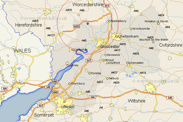
Gloucestershire Map Showing Location of Redmarley D'abitot
Population: 705
District: Forest of Dean
Easting: 375965 Northing: 231758
Latitude: 51.98 Longitude: -2.35
 = Redmarley D'abitot
District: Forest of Dean
Easting: 375965 Northing: 231758
Latitude: 51.98 Longitude: -2.35
= Redmarley D'abitot
This Redmarley D'abitot map below is supplied by Google. Use the tools in the top left corner to zoom into street level or zoom out for a road map, you may also need to zoom in to see Redmarley D'abitot on the map. Click and drag the map to move around. If the map fails to load try and refresh your browser or zoom in or out (+ or -).
Update - it seems Google no longer allow people to use their maps for free! This Redmarley D'abitot map sometimes loads and sometimes gives a error. I am working on a solution.
Closest 30 Towns or Cities to Redmarley D'abitot (Population over 500)
Dymock 5.71km Newent 6.53km Corse 6.53km Ashleworth 7.97km Hartpury 8.16km Tibberton 9.27km Deerhurst 10.44km Huntley 13.42km Tewkesbury 13.82km Staverton 14.59km Longhope 14.67km Innsworth 15.15km Mitcheldean 15.87km Milcheldean 15.87km Ashchurch 16.08km Churchdown 16.78km Swindon 18.01km Gloucester 18.04km Drybrook 18.05km Hucclecote 18.72km Hardwicke 18.84km Quedgeley 19.09km Brockworth 19.44km Bishops Cleeve 19.76km Cheltenham 20.49km Shurdington 20.6km Cinderford 20.67km Newham 21.17km Newnham 21.17km Southam 21.3km