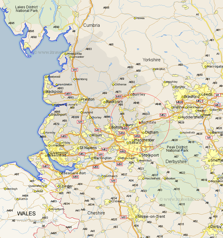
Lancashire Map Showing Location of Rochdale
Population: 91264
Area Size (ha): 2128
District: Rochdale
Easting: 390078 Northing: 413387
Latitude: 53.62 Longitude: -2.15
 = Rochdale
Area Size (ha): 2128
District: Rochdale
Easting: 390078 Northing: 413387
Latitude: 53.62 Longitude: -2.15
= Rochdale
This Rochdale map below is supplied by Google. Use the tools in the top left corner to zoom into street level or zoom out for a road map, you may also need to zoom in to see Rochdale on the map. Click and drag the map to move around. If the map fails to load try and refresh your browser or zoom in or out (+ or -).
Update - it seems Google no longer allow people to use their maps for free! This Rochdale map sometimes loads and sometimes gives a error. I am working on a solution.
Closest 30 Towns or Cities to Rochdale (Population over 500)
Littleborough 3.78km Milnrow 3.79km Wardle 3.86km Whitworth 4.31km Heywood 5.76km Royton 5.98km Shaw 7.09km Oldham 7.74km Middleton 8.12km Bacup 9.52km Bury 10.07km Uppermill 10.4km Delph 10.41km Ramsbottom 11.15km Failsworth 11.17km Edenfield 11.34km Tottington 12.24km Whitefield 12.37km Rawtenstall 12.77km Prestwich 12.79km Ashton 13.39km Ashton under Lyne 13.39km Ashton-under-Lyne 13.39km Manchester 13.7km Mossley 14.18km Radcliffe 14.19km Droylesden 14.83km Droylsden 14.83km Haslingden 15.22km Little Lever 16.11km