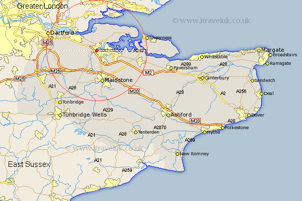
Kent Map Showing Location of Rochester
Population: 23855
Area Size (ha): 632
Easting: 575105 Northing: 167977
Latitude: 51.38 Longitude: 0.49
 = Rochester
Area Size (ha): 632
Easting: 575105 Northing: 167977
Latitude: 51.38 Longitude: 0.49
= Rochester
This Rochester map below is supplied by Google. Use the tools in the top left corner to zoom into street level or zoom out for a road map, you may also need to zoom in to see Rochester on the map. Click and drag the map to move around. If the map fails to load try and refresh your browser or zoom in or out (+ or -).
Update - it seems Google no longer allow people to use their maps for free! This Rochester map sometimes loads and sometimes gives a error. I am working on a solution.
Closest 30 Towns or Cities to Rochester (Population over 500)
Strood 0.92km Chatham 2.08km Shorne 4.14km Cuxton 4.49km Gillingham 5.48km Wouldham 5.73km Higham 5.73km Hoo 5.85km Cobham 6.02km High Halstow 7.09km Burham 7.41km Snodland 8.28km Meopham 8.53km Gravesend 10.01km Stoke 10.59km Aylesford 11.12km Upchurch 11.49km Ryarsh 11.72km Longfield 11.8km Southfleet 11.94km Hartley 11.94km Boxley 11.96km Northfleet 12km Lower Halstow 12.63km West Malling 12.64km Addington 12.65km Detling 12.99km Newington 13.03km Swanscombe 13.04km Ridley 13.05km