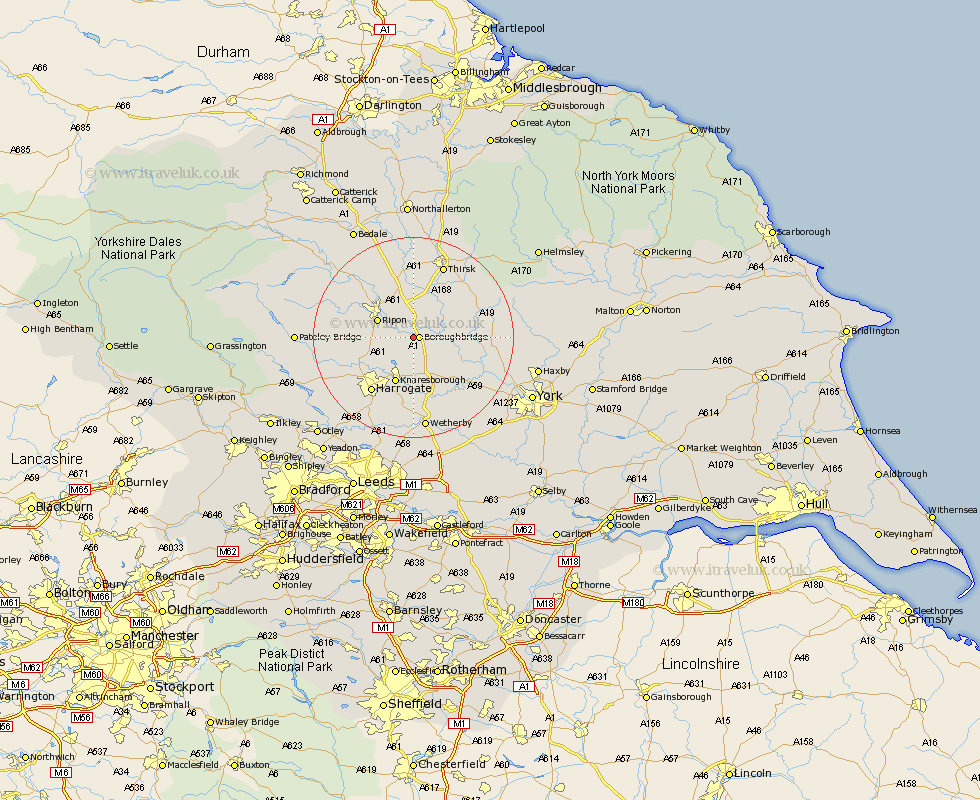
Yorkshire Map Showing Location of Roecliffe
Population: 185
District: Harrogate
Easting: 438156 Northing: 465442
Latitude: 54.08 Longitude: -1.42
 = Roecliffe
District: Harrogate
Easting: 438156 Northing: 465442
Latitude: 54.08 Longitude: -1.42
= Roecliffe
This Roecliffe map below is supplied by Google. Use the tools in the top left corner to zoom into street level or zoom out for a road map, you may also need to zoom in to see Roecliffe on the map. Click and drag the map to move around. If the map fails to load try and refresh your browser or zoom in or out (+ or -).
Update - it seems Google no longer allow people to use their maps for free! This Roecliffe map sometimes loads and sometimes gives a error. I am working on a solution.
Closest 30 Towns or Cities to Roecliffe (Population over 500)
Boroughbridge 1.09km Marton le Moor 3.75km Marton 3.75km Monkton 5.43km Bishop Monkton 5.43km Burton Leonard 5.74km Dishforth 7.42km Great Ouseburn 7.5km Ouseburn 7.5km Ripon 7.5km Knaresborough 9.82km Whixley 9.87km Topcliffe 11.33km Killinghall 11.43km Alne 11.96km Green Hammerton 11.99km Raskelf 12.2km Linton upon Ouse 12.22km Linton on Ouse 12.22km Linton-on-Ouse 12.22km Linton 12.22km Tollerton 13.18km Harrogate 13.48km Kirk Hammerton 13.48km Hammerton 13.48km Hampsthwaite 14.07km Birstwith 14.19km Newton upon Ouse 14.19km Newton 14.19km Easingwold 14.61km