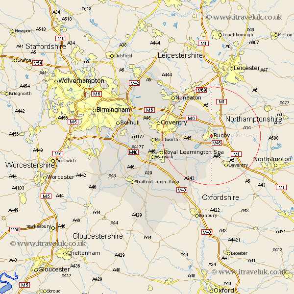
Warwickshire Map Showing Location of Rugby
Population: 60509
Area Size (ha): 1750
District: Rugby
Easting: 451060 Northing: 274601
Latitude: 52.37 Longitude: -1.25
 = Rugby
Area Size (ha): 1750
District: Rugby
Easting: 451060 Northing: 274601
Latitude: 52.37 Longitude: -1.25
= Rugby
This Rugby map below is supplied by Google. Use the tools in the top left corner to zoom into street level or zoom out for a road map, you may also need to zoom in to see Rugby on the map. Click and drag the map to move around. If the map fails to load try and refresh your browser or zoom in or out (+ or -).
Update - it seems Google no longer allow people to use their maps for free! This Rugby map sometimes loads and sometimes gives a error. I am working on a solution.
Closest 30 Towns or Cities to Rugby (Population over 500)
Clifton 2.92km Clifton upon Dunsmore 2.92km Clifton-on-Dunsmore 2.92km Clifton on Dunsmore 2.92km Long Lawford 3.39km Dunchurch 4.35km Brinklow 7.73km Wolston 9.05km Brandon 10.18km Stockton 13.03km Shilton 13.76km Long Itchington 14.34km Bubbenhall 15.18km Wolvey 15.19km Napton on the Hill 15.51km Napton-on-the-Hill 15.51km Napton 15.51km Southam 15.83km Baginton 15.84km Bulkington 15.86km Stoneleigh 18.2km Bedworth 18.43km Priors Marston 18.67km Harbury 20.12km Keresley 20.6km Royal Leamington Spa 20.63km Leamington 20.63km Leamington Spa 20.63km Coventry 21.1km Allesley 21.1km