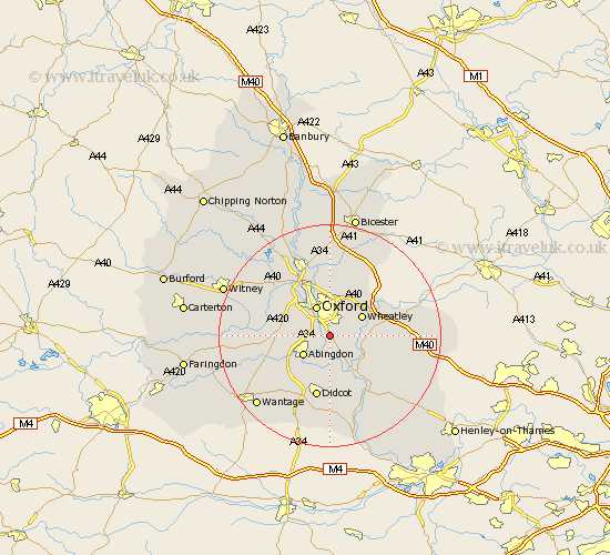
Oxfordshire Map Showing Location of Sandford On Thames
District: South Oxfordshire
Easting: 454129 Northing: 200481
Latitude: 51.7 Longitude: -1.22
 = Sandford On Thames
Easting: 454129 Northing: 200481
Latitude: 51.7 Longitude: -1.22
= Sandford On Thames
This Sandford On Thames map below is supplied by Google. Use the tools in the top left corner to zoom into street level or zoom out for a road map, you may also need to zoom in to see Sandford On Thames on the map. Click and drag the map to move around. If the map fails to load try and refresh your browser or zoom in or out (+ or -).
Update - it seems Google no longer allow people to use their maps for free! This Sandford On Thames map sometimes loads and sometimes gives a error. I am working on a solution.
Closest 30 Towns or Cities to Sandford On Thames (Population over 500)
Littlemore 1.86km Radley 2.18km Garsington 4.59km Sunningwell 4.96km Clifton Hampden 5.68km Wootton 5.74km North Hinksey 5.9km Abingdon 5.9km Abingdon on Thames 5.9km Abingdon-on-Thames 5.9km Oxford 6.02km Cuddesdon 6.03km Wheatley 6.83km Stadhampton 6.84km Long Wittenham 7.51km Drayton St Leonard 8km Drayton Saint Leonard 8km Drayton St. Leonard 8km Drayton 8km Dorchester 8.18km Sutton Courtenay 8.18km Cumnor 8.25km Milton 9.37km Great Milton 9.37km Drayton 9.38km Beckley 9.54km Marcham 9.78km Benson 10.13km Great Haseley 10.34km Chalgrove 10.74km