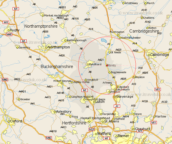
Bedfordshire Map Showing Location of Sandy
Population: 8377
Area Size (ha): 205
District: Mid Bedfordshire
Easting: 517527 Northing: 247922
Latitude: 52.13 Longitude: -0.29
 = Sandy
Area Size (ha): 205
District: Mid Bedfordshire
Easting: 517527 Northing: 247922
Latitude: 52.13 Longitude: -0.29
= Sandy
This Sandy map below is supplied by Google. Use the tools in the top left corner to zoom into street level or zoom out for a road map, you may also need to zoom in to see Sandy on the map. Click and drag the map to move around. If the map fails to load try and refresh your browser or zoom in or out (+ or -).
Update - it seems Google no longer allow people to use their maps for free! This Sandy map sometimes loads and sometimes gives a error. I am working on a solution.
Closest 30 Towns or Cities to Sandy (Population over 500)
Blunham 1.64km Tempsford 2.3km Northill 3.67km Everton 4.12km Roxton 4.14km Great Barford 4.48km Willington 5.02km Biggleswade 5.47km Cople 6.31km Potton 6.53km Southill 8.87km Langford 9.05km Cockayne Hatley 9.89km Clifton 10.73km Shefford 11.06km Campton and Chicksands 11.83km Wilstead 11.85km Wilshamstead 11.85km Wilhamstead 11.85km Willshamstead 11.85km Bolnhurst 12.1km Haynes 12.23km Elstow 12.29km Henlow 12.58km Bedford 12.75km Clapham 13.16km Thurleigh 13.24km Kempston 13.39km Biddenham 14.11km Stondon 14.51km