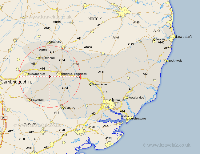
Suffolk Map Showing Location of Saxham
District: St. Edmundsbury
Easting: 578667 Northing: 262726
Latitude: 52.23 Longitude: 0.62
 = Saxham
Easting: 578667 Northing: 262726
Latitude: 52.23 Longitude: 0.62
= Saxham
This Saxham map below is supplied by Google. Use the tools in the top left corner to zoom into street level or zoom out for a road map, you may also need to zoom in to see Saxham on the map. Click and drag the map to move around. If the map fails to load try and refresh your browser or zoom in or out (+ or -).
Update - it seems Google no longer allow people to use their maps for free! This Saxham map sometimes loads and sometimes gives a error. I am working on a solution.
Closest 30 Towns or Cities to Saxham (Population over 500)
Barrow 2.27km Chevington 3.7km Risby 3.88km Chedburgh 5.56km Fornham All Saints 6.78km Gazeley 7.06km Bury St. Edmunds 7.06km Bury Saint Edmunds 7.06km Bury St Edmunds 7.06km Moulton 9.27km Wickhambrook 9.87km Rushbrooke 10.38km Great Barton 10.87km Lawshall 12.21km Bradfield St. George 13.03km Bradfield St George 13.03km Bradfield Saint George 13.03km Bradfield 13.03km Thurston 13.74km Newmarket 13.74km Troston 14.65km Mildenhall 14.65km Cockfield 14.66km Glemsford 15.21km Pakenham 15.21km Hundon 15.5km Eriswell 15.88km Ixworth 16.5km Honington 16.71km Cavendish 16.72km