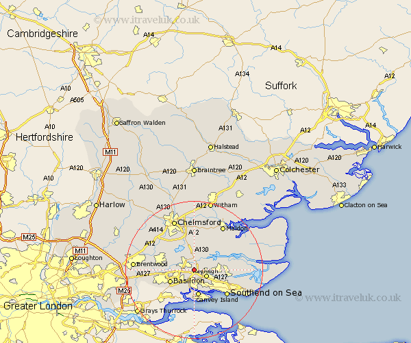
Essex Map Showing Location of Battlesbridge
District: Rochford
Easting: 577738 Northing: 192190
Latitude: 51.6 Longitude: 0.57
 = Battlesbridge
Easting: 577738 Northing: 192190
Latitude: 51.6 Longitude: 0.57
= Battlesbridge
This Battlesbridge map below is supplied by Google. Use the tools in the top left corner to zoom into street level or zoom out for a road map, you may also need to zoom in to see Battlesbridge on the map. Click and drag the map to move around. If the map fails to load try and refresh your browser or zoom in or out (+ or -).
Update - it seems Google no longer allow people to use their maps for free! This Battlesbridge map sometimes loads and sometimes gives a error. I am working on a solution.
Closest 30 Towns or Cities to Battlesbridge (Population over 500)
Rawreth 0km Wickford 3.45km Rayleigh 3.92km South Hanningfield 5.06km Rettendon 5.68km Woodham Ferrers 6.02km Hockley 6.05km Hawkwell 7.15km West Hanningfield 7.22km Benfleet 7.51km South Benfleet 7.51km Canvey Island 7.51km East Hanningfield 7.51km Basildon 7.84km Ramsden Heath 8.27km Fambridge 8.87km North Fambridge 8.87km Leigh on Sea 8.87km Leigh 8.87km Leigh-on-Sea 8.87km Bicknacre 9.33km Bickacre 9.33km Purleigh 9.39km Cold Norton 10.13km Billericay 10.52km Great Burstead 10.53km Rochford 10.53km Stock 10.75km Danbury 11.12km Southend 11.83km