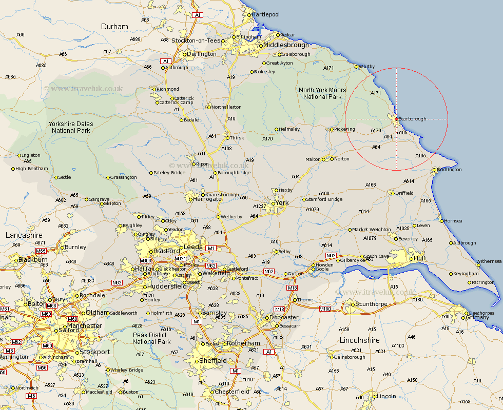
Yorkshire Map Showing Location of Scarborough
Population: 38948
Area Size (ha): 832
District: Scarborough
Easting: 503219 Northing: 489129
Latitude: 54.29 Longitude: -0.41
 = Scarborough
Area Size (ha): 832
District: Scarborough
Easting: 503219 Northing: 489129
Latitude: 54.29 Longitude: -0.41
= Scarborough
This Scarborough map below is supplied by Google. Use the tools in the top left corner to zoom into street level or zoom out for a road map, you may also need to zoom in to see Scarborough on the map. Click and drag the map to move around. If the map fails to load try and refresh your browser or zoom in or out (+ or -).
Update - it seems Google no longer allow people to use their maps for free! This Scarborough map sometimes loads and sometimes gives a error. I am working on a solution.
Closest 30 Towns or Cities to Scarborough (Population over 500)
Scalby 1.32km Burniston 3.51km Cloughton 5.28km Eastfield 6.06km Seamer 6.12km Cayton 6.74km Willerby 11.79km Brompton 11.8km Filey 11.82km Snainton 13.5km Hunmanby 14.82km Sherburn 14.96km Fylingdales 16.34km Yedingham 16.34km Thornton Dale 20.54km Thornton-le-Dale 20.54km Hawsker 20.62km Great Driffield 20.85km Pickering 23.26km Bempton 23.49km Rillington 24.04km Sleights 24.4km Bridlington 25.23km Whitby 26.24km Kilham 26.56km Norton 28.38km Flamborough 28.42km Nafferton 30.15km Malton 30.91km Driffield 31.21km