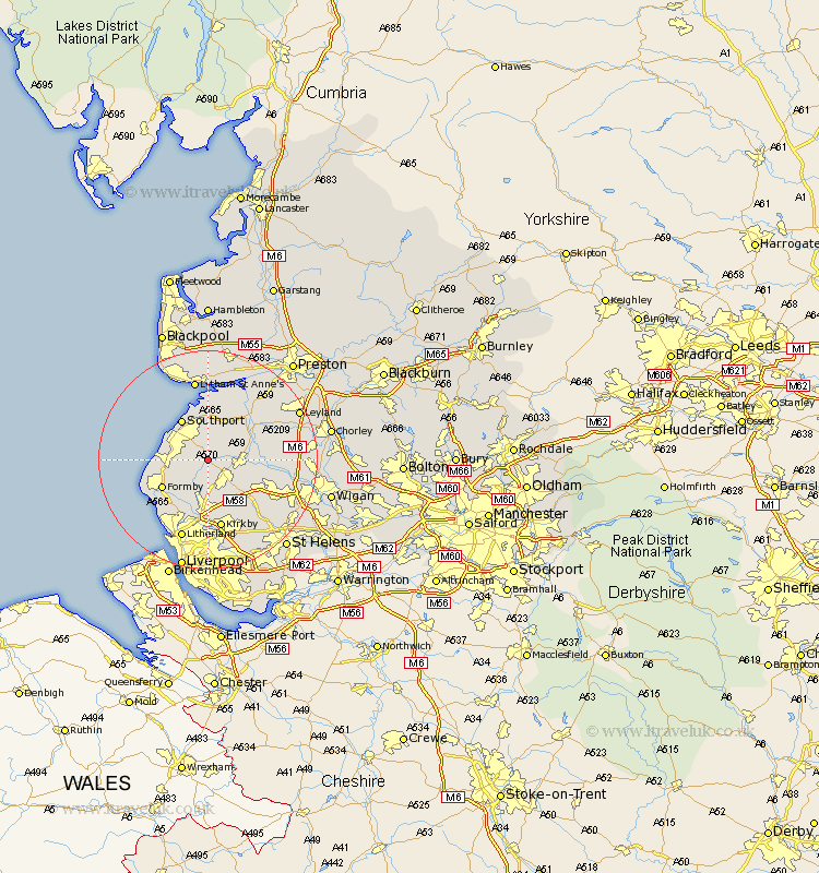
Lancashire Map Showing Location of Scarisbrick
Population: 3204
District: West Lancashire
Easting: 338242 Northing: 411923
Latitude: 53.6 Longitude: -2.93
 = Scarisbrick
District: West Lancashire
Easting: 338242 Northing: 411923
Latitude: 53.6 Longitude: -2.93
= Scarisbrick
This Scarisbrick map below is supplied by Google. Use the tools in the top left corner to zoom into street level or zoom out for a road map, you may also need to zoom in to see Scarisbrick on the map. Click and drag the map to move around. If the map fails to load try and refresh your browser or zoom in or out (+ or -).
Update - it seems Google no longer allow people to use their maps for free! This Scarisbrick map sometimes loads and sometimes gives a error. I am working on a solution.
Closest 30 Towns or Cities to Scarisbrick (Population over 500)
Halsall 2.16km Ormskirk 4.31km Rufford 6.85km Burscough 6.86km Aughton 7.5km Lathom 8.55km Southport 8.62km Banks 9.33km Maghull 9.33km Formby 9.5km Lydiate 9.52km Tarleton 9.92km Ince Blundell 10.77km Mawdesley 11.15km Parbold 11.15km Sefton 11.34km Bickerstaffe 11.38km Bretherton 11.5km Skelmersdale 11.51km Thornton 11.96km Hightown 12.05km Croston 12.32km Rainford 12.78km Melling 13.02km Kirkby 13.16km Much Hoole 14.17km Hoole 14.17km Penrith 14.31km Eccleston 14.76km Appley Bridge 14.77km