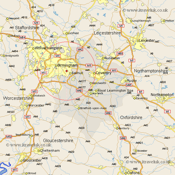
Warwickshire Map Showing Location of Acocks Green
District: Birmingham
Easting: 412462 Northing: 281763
Latitude: 52.43 Longitude: -1.82
 = Acocks Green
Easting: 412462 Northing: 281763
Latitude: 52.43 Longitude: -1.82
= Acocks Green
This Acocks Green map below is supplied by Google. Use the tools in the top left corner to zoom into street level or zoom out for a road map, you may also need to zoom in to see Acocks Green on the map. Click and drag the map to move around. If the map fails to load try and refresh your browser or zoom in or out (+ or -).
Update - it seems Google no longer allow people to use their maps for free! This Acocks Green map sometimes loads and sometimes gives a error. I am working on a solution.
Closest 30 Towns or Cities to Acocks Green (Population over 500)
Solihull 2.92km Bickenhill 7.03km Birmingham 7.73km Castle Bromwich 7.75km Knowle 7.93km Hampton in Arden 8.12km Water Orton 9.32km Coleshill 10.84km Temple Balsall 11.69km Lapworth 12km Berkeswell 12.97km Berkswell 12.97km Meriden 13.56km Shustoke 14.46km Ullenhall 14.83km Sutton Coldfield 14.83km Rowington 15.2km Kingsbury 15.8km Nether Whitacre 15.84km Fillongley 16.24km Henley in Arden 17.03km Arley 17.46km Middleton 17.6km Hurley 17.95km Shrewley 17.99km Corley 18.17km Coventry 18.18km Allesley 18.18km Kenilworth 18.35km Hatton 18.65km