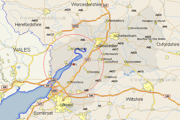
Gloucestershire Map Showing Location of Sharpness
District: Stroud
Easting: 367764 Northing: 202150
Latitude: 51.72 Longitude: -2.47
 = Sharpness
Easting: 367764 Northing: 202150
Latitude: 51.72 Longitude: -2.47
= Sharpness
This Sharpness map below is supplied by Google. Use the tools in the top left corner to zoom into street level or zoom out for a road map, you may also need to zoom in to see Sharpness on the map. Click and drag the map to move around. If the map fails to load try and refresh your browser or zoom in or out (+ or -).
Update - it seems Google no longer allow people to use their maps for free! This Sharpness map sometimes loads and sometimes gives a error. I am working on a solution.
Closest 30 Towns or Cities to Sharpness (Population over 500)
Berkeley 3.89km Lydney 4.59km Slimbridge 5.74km Awre 6.02km Stone 7.42km Bream 7.82km North Nibley 7.99km Cam 8.25km Frampton on Severn 8.85km Frampton 8.85km Frampton-on-Severn 8.85km Coaley 9.19km Falfield 9.34km Woolaston 9.37km Newnham 9.54km Newham 9.54km Dursley 10.74km Uley 10.98km Cinderford 11.17km Cromhall 11.18km Charfield 11.64km Wotton under Edge 12.27km Wotton-under-Edge 12.27km Tytherington 13.03km Coleford 13.04km Stonehouse 13.16km Thornbury 13.43km Alveston 13.77km Newland 14.63km Tidenham 14.65km