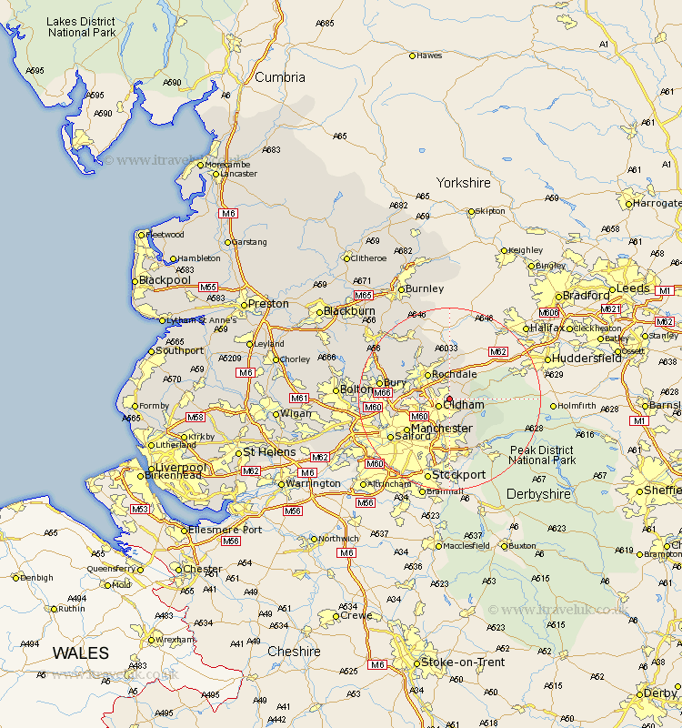
Lancashire Map Showing Location of Shaw
Population: 18914
Area Size (ha): 363
District: Oldham
Easting: 394481 Northing: 407817
Latitude: 53.57 Longitude: -2.08
 = Shaw
Area Size (ha): 363
District: Oldham
Easting: 394481 Northing: 407817
Latitude: 53.57 Longitude: -2.08
= Shaw
This Shaw map below is supplied by Google. Use the tools in the top left corner to zoom into street level or zoom out for a road map, you may also need to zoom in to see Shaw on the map. Click and drag the map to move around. If the map fails to load try and refresh your browser or zoom in or out (+ or -).
Update - it seems Google no longer allow people to use their maps for free! This Shaw map sometimes loads and sometimes gives a error. I am working on a solution.
Closest 30 Towns or Cities to Shaw (Population over 500)
Royton 2.2km Oldham 2.88km Milnrow 3.86km Delph 4.4km Uppermill 4.51km Failsworth 6.47km Rochdale 7.09km Mossley 7.09km Littleborough 7.49km Ashton-under-Lyne 7.5km Ashton under Lyne 7.5km Ashton 7.5km Middleton 7.93km Heywood 9km Wardle 9.83km Droylesden 10.27km Droylsden 10.27km Whitworth 11.37km Manchester 11.52km Denton 13.16km Chadderton 13.39km Prestwich 13.72km Hollingworth 13.94km Whitefield 14.43km Bury 14.77km Salford 15.26km Bacup 16.22km Radcliffe 16.62km Tottington 16.91km Ramsbottom 17.09km