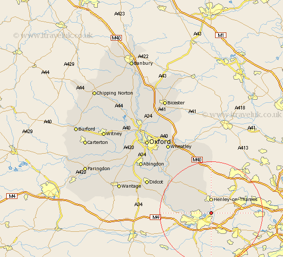
Oxfordshire Map Showing Location of Shiplake
Population: 1878
District: South Oxfordshire
Easting: 476373 Northing: 176666
Latitude: 51.48 Longitude: -0.9
 = Shiplake
District: South Oxfordshire
Easting: 476373 Northing: 176666
Latitude: 51.48 Longitude: -0.9
= Shiplake
This Shiplake map below is supplied by Google. Use the tools in the top left corner to zoom into street level or zoom out for a road map, you may also need to zoom in to see Shiplake on the map. Click and drag the map to move around. If the map fails to load try and refresh your browser or zoom in or out (+ or -).
Update - it seems Google no longer allow people to use their maps for free! This Shiplake map sometimes loads and sometimes gives a error. I am working on a solution.
Closest 30 Towns or Cities to Shiplake (Population over 500)
Harpsden 3.71km Henley on Thames 5.56km Henley-on-Thames 5.56km Rotherfield Peppard 7.22km Bix 8.18km Nettlebed 10.92km Whitchurch 12.69km Nuffield 13.08km Goring 16.57km Ewelme 17.36km Watlington 18.05km Moulsford 18.17km Cholsey 19.63km Aston Rowant 20.68km Wallingford 20.71km Lewknor 20.91km Warborough 21.92km Chinnor 22.24km Benson 22.42km Chalgrove 22.45km Blewbury 24.23km Drayton Saint Leonard 24.57km Drayton 24.57km Drayton St. Leonard 24.57km Drayton St Leonard 24.57km Dorchester 24.86km Tetsworth 25.07km East Hagbourne 25.6km Hagbourne 25.6km Stadhampton 26km