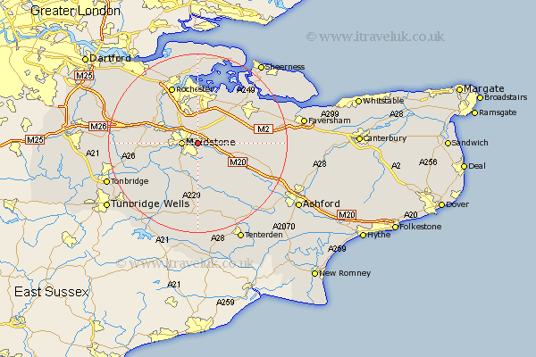
Kent Map Showing Location of Bearsted
Population: 8010
District: Maidstone
Easting: 579037 Northing: 155131
Latitude: 51.27 Longitude: 0.57
 = Bearsted
District: Maidstone
Easting: 579037 Northing: 155131
Latitude: 51.27 Longitude: 0.57
= Bearsted
This Bearsted map below is supplied by Google. Use the tools in the top left corner to zoom into street level or zoom out for a road map, you may also need to zoom in to see Bearsted on the map. Click and drag the map to move around. If the map fails to load try and refresh your browser or zoom in or out (+ or -).
Update - it seems Google no longer allow people to use their maps for free! This Bearsted map sometimes loads and sometimes gives a error. I am working on a solution.
Closest 30 Towns or Cities to Bearsted (Population over 500)
Detling 2.18km Boxley 2.18km Maidstone 3.48km Langley 3.89km Leeds 5.09km Loose 5.09km Boughton Monchelsea 6.02km Aylesford 6.08km Hollingbourne 6.09km Linton 6.56km East Barming 7.2km Barming 7.2km Sutton Valence 7.5km Burham 8.03km Stockbury 8.03km Harrietsham 8.93km East Malling 9.28km Ulcombe 9.41km Hunton 9.41km Bredgar 9.99km Wouldham 10.16km Wateringbury 10.6km Borden 10.81km Snodland 10.81km Yalding 10.82km Lenham 11.08km Newington 11.58km Addington 11.74km West Malling 11.74km Tunstall 11.82km