Essex Map Showing Location of Shoeburyness
Easting: 594177 Northing: 185368
Latitude: 51.53 Longitude: 0.8
 = Shoeburyness
Latitude: 51.53 Longitude: 0.8
= Shoeburyness
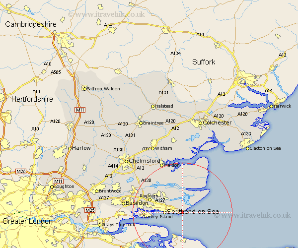
This Shoeburyness map below is supplied by Google. Use the tools in the top left corner to zoom into street level or zoom out for a road map, you may also need to zoom in to see Shoeburyness on the map. Click and drag the map to move around. If the map fails to load try and refresh your browser or zoom in or out (+ or -).
Update - it seems Google no longer allow people to use their maps for free! This Shoeburyness map sometimes loads and sometimes gives a error. I am working on a solution.
Closest 30 Towns or Cities to Shoeburyness (Population over 500)
Little Wakering 2.19km Barling 3.89km Southend 6.92km Southend-on-Sea 6.92km Southend on Sea 6.92km Rochford 8.01km Canewelon 8.18km Canewdon 8.18km Leigh 9.41km Leigh on Sea 9.41km Leigh-on-Sea 9.41km Burnham 9.55km Burnham-on-Crouch 9.55km Burnham on Crouch 9.55km Hawkwell 10.76km Hockley 11.77km Mayland 13.03km Southminster 13.18km Althorne 13.43km Fambridge 13.73km North Fambridge 13.73km Rayleigh 13.84km Canvey Island 14.99km Latchingdon 15.53km Snoreham 15.53km Latchingdon and Snoreham 15.53km South Benfleet 17.29km Benfleet 17.29km Cold Norton 17.46km Tillingham 17.64km