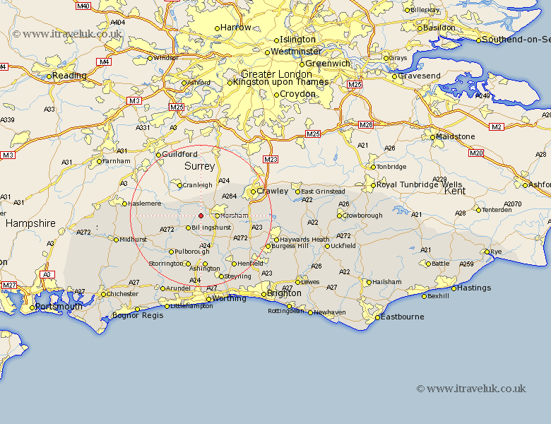
Sussex Map Showing Location of Slinfold
Population: 1647
District: Horsham
Easting: 512136 Northing: 129127
Latitude: 51.05 Longitude: -0.4
 = Slinfold
District: Horsham
Easting: 512136 Northing: 129127
Latitude: 51.05 Longitude: -0.4
= Slinfold
This Slinfold map below is supplied by Google. Use the tools in the top left corner to zoom into street level or zoom out for a road map, you may also need to zoom in to see Slinfold on the map. Click and drag the map to move around. If the map fails to load try and refresh your browser or zoom in or out (+ or -).
Update - it seems Google no longer allow people to use their maps for free! This Slinfold map sometimes loads and sometimes gives a error. I am working on a solution.
Closest 30 Towns or Cities to Slinfold (Population over 500)
Itchingfield 2.19km Horsham 4.66km West Horsham 4.66km Billingshurst 5.09km Southwater 5.09km Warnham 5.95km Rudgwick 6.03km Wisborough Green 7.91km Loxwood 8.36km Nuthurst 8.93km Shipley 9.55km West Grinstead 10.37km Rusper 10.85km Kirdford 11.12km Lower Beeding 11.12km Plaistow 11.65km Cowfold 11.92km Thakeham 13.03km West Chiltington 13.44km West Chillington 13.44km Pulborough 13.79km Slaugham 14.11km Ashington 14.87km Storrington 15.09km Petworth 15.83km Botney 15.84km Bolney 15.84km Coldwaltham 15.98km Fittleworth 16.11km Crawley 16.23km