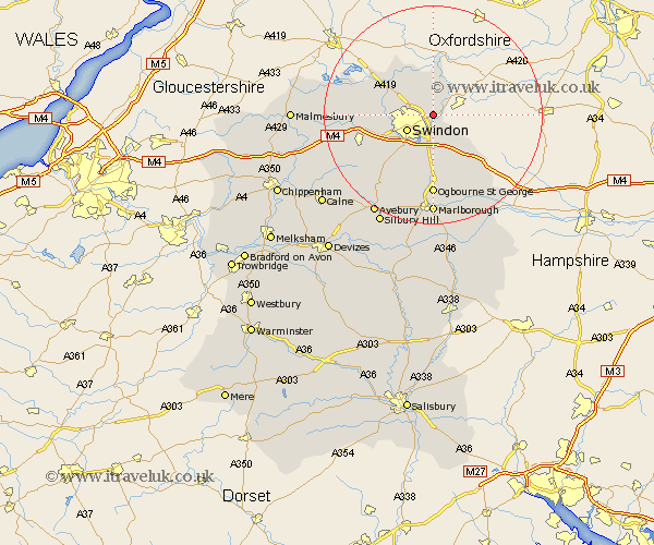
Wiltshire Map Showing Location of South Marston
Easting: 419629 Northing: 187254
Latitude: 51.58 Longitude: -1.72
 = South Marston
Latitude: 51.58 Longitude: -1.72
= South Marston
This South Marston map below is supplied by Google. Use the tools in the top left corner to zoom into street level or zoom out for a road map, you may also need to zoom in to see South Marston on the map. Click and drag the map to move around. If the map fails to load try and refresh your browser or zoom in or out (+ or -).
Update - it seems Google no longer allow people to use their maps for free! This South Marston map sometimes loads and sometimes gives a error. I am working on a solution.
Closest 30 Towns or Cities to South Marston (Population over 500)
Stratton 2.3km Stratton St. Margaret 2.3km Stratton St Margaret 2.3km Stratton Saint Margaret 2.3km Highworth 3.88km Swindon 5.48km Wanborough 5.68km Blunsdon Saint Andrew 6.05km Blunsdon St. Andrew 6.05km Blunsdon St Andrew 6.05km Blunsdon 6.05km Bishopstone 8.01km Wroughton 8.73km Chiseldon 9.27km Purton 10.36km Lydiard Millicent 10.53km Cricklade 10.75km Baydon 13.74km Broad Hinton 13.74km Wootton Bassett 13.84km Wooton Bassett 13.84km Aldbourne 14.7km Broad Town 15.21km Ashton Keynes 15.96km Minety 16.54km Marlborough 18.53km Ramsbury 18.53km Brinkworth 18.8km Lyneham 18.81km Hillmarton 21.62km