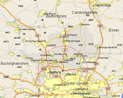
Hertfordshire Map Showing Location of South Mimms
District: Hertsmere
Easting: 522120 Northing: 199810
Latitude: 51.68 Longitude: -0.23
 = South Mimms
Easting: 522120 Northing: 199810
Latitude: 51.68 Longitude: -0.23
= South Mimms
This South Mimms map below is supplied by Google. Use the tools in the top left corner to zoom into street level or zoom out for a road map, you may also need to zoom in to see South Mimms on the map. Click and drag the map to move around. If the map fails to load try and refresh your browser or zoom in or out (+ or -).
Update - it seems Google no longer allow people to use their maps for free! This South Mimms map sometimes loads and sometimes gives a error. I am working on a solution.
Closest 30 Towns or Cities to South Mimms (Population over 500)
Shenley 2.3km North Mymms 3.89km Borehamwood 4.36km Potters Bar 4.6km London Olney 5.07km London Colney 5.07km Colney Heath 5.68km Radlett 5.75km Brookmans Park 6.54km Elstree 6.54km Aldenham 8.25km Cuffley 8.25km Hatfield 9.29km Essendon 9.38km Bushey 9.78km Saint Albans 10.12km St Albans 10.12km St. Albans 10.12km Sandridge 10.35km Bishops Hatfield 10.35km Watford 11.64km Abbots Langley 12.77km Garden City 13.18km Welwyn Garden City 13.18km Wheathampstead 13.43km Cheshunt 13.91km Hertingfordbury 14.42km Kings Langley 15.05km Redbourn 15.18km Harpenden 15.26km