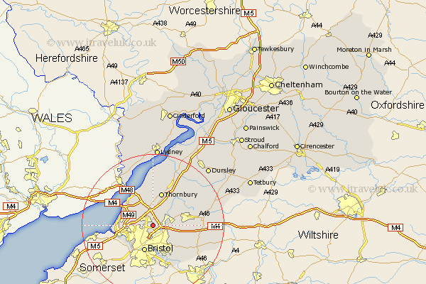
Gloucestershire Map Showing Location of Stoke Gifford
Population: 8041
Area Size (ha): 186
Easting: 361840 Northing: 179946
Latitude: 51.52 Longitude: -2.55
 = Stoke Gifford
Area Size (ha): 186
Easting: 361840 Northing: 179946
Latitude: 51.52 Longitude: -2.55
= Stoke Gifford
This Stoke Gifford map below is supplied by Google. Use the tools in the top left corner to zoom into street level or zoom out for a road map, you may also need to zoom in to see Stoke Gifford on the map. Click and drag the map to move around. If the map fails to load try and refresh your browser or zoom in or out (+ or -).
Update - it seems Google no longer allow people to use their maps for free! This Stoke Gifford map sometimes loads and sometimes gives a error. I am working on a solution.
Closest 30 Towns or Cities to Stoke Gifford (Population over 500)
Filton 1.15km Patchway 2.18km Almondsbury 3.88km Winterbourne 4.63km Frampton Cotterell 4.97km Kingswood 6.55km Pilning 6.85km Iron Acton 6.85km Mangotsfield 6.86km Olveston 7.5km Bristol 7.76km Westerleigh 8.07km Rangeworthy 8.88km Siston 8.88km Alveston 9.34km Thornbury 9.55km Tytherington 10.35km Aust 10.35km Wick 10.96km Chipping Sodbury 11.68km Cromhall 13.1km Bitton 13.1km Wickwar 13.7km Charfield 14.44km Falfield 14.7km Stone 15.9km Tidenham 16.36km Hawkesbury 16.71km Marshfield 18.83km Wotton under Edge 18.96km