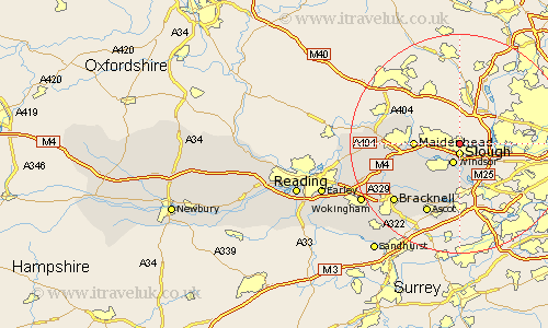
Berkshire Map Showing Location of Stoke Poges
Population: 4850
Area Size (ha): 177
Easting: 498287 Northing: 180754
Latitude: 51.52 Longitude: -0.58
 = Stoke Poges
Area Size (ha): 177
Easting: 498287 Northing: 180754
Latitude: 51.52 Longitude: -0.58
= Stoke Poges
This Stoke Poges map below is supplied by Google. Use the tools in the top left corner to zoom into street level or zoom out for a road map, you may also need to zoom in to see Stoke Poges on the map. Click and drag the map to move around. If the map fails to load try and refresh your browser or zoom in or out (+ or -).
Update - it seems Google no longer allow people to use their maps for free! This Stoke Poges map sometimes loads and sometimes gives a error. I am working on a solution.
Closest 30 Towns or Cities to Stoke Poges (Population over 500)
Slough 1.85km Eton 2.18km New Windsor 3.89km Windsor 3.89km Frogmore 5.68km Frogmore House 5.68km Datchet 5.68km Colnbrook 7.22km Old Windsor 7.41km Horton 7.41km Wyrardisbury 7.76km Wraysbury 7.76km Maidenhead 8.07km Bray 8.28km Cookham 8.88km Winkfield 12.3km Bisham 13.21km White Waltham 13.22km Ascot 14.2km Sunningdale 15.01km Warfield 15.22km Sunninghill 15.53km Waltham St Lawrence 16km Waltham Saint Lawrence 16km Waltham St. Lawrence 16km Bracknell 16.03km Hurley 16.25km Binfield 16.67km Twyford 19.28km Wargrave 19.96km