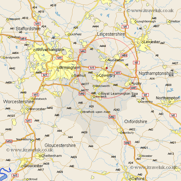
Warwickshire Map Showing Location of Bedworth
Population: 31632
Area Size (ha): 719
District: Nuneaton and Bedworth
Easting: 436227 Northing: 285592
Latitude: 52.47 Longitude: -1.47
 = Bedworth
Area Size (ha): 719
District: Nuneaton and Bedworth
Easting: 436227 Northing: 285592
Latitude: 52.47 Longitude: -1.47
= Bedworth
This Bedworth map below is supplied by Google. Use the tools in the top left corner to zoom into street level or zoom out for a road map, you may also need to zoom in to see Bedworth on the map. Click and drag the map to move around. If the map fails to load try and refresh your browser or zoom in or out (+ or -).
Update - it seems Google no longer allow people to use their maps for free! This Bedworth map sometimes loads and sometimes gives a error. I am working on a solution.
Closest 30 Towns or Cities to Bedworth (Population over 500)
Bulkington 3.39km Shilton 4.88km Nuneaton 5.56km Keresley 5.85km Corley 5.94km Wolvey 7.02km Fillongley 7.9km Coventry 7.92km Allesley 7.92km Arley 8.72km Meriden 10.82km Brinklow 10.84km Baginton 11.18km Mancetter 11.62km Shustoke 11.88km Brandon 12km Atherstone 12.47km Wolston 12.47km Stoneleigh 13.41km Berkswell 13.52km Berkeswell 13.52km Nether Whitacre 14.45km Hurley 14.59km Bubbenhall 14.83km Kenilworth 15.2km Long Lawford 15.86km Coleshill 16.23km Grendon 16.29km Hampton in Arden 16.76km Bickenhill 17.04km