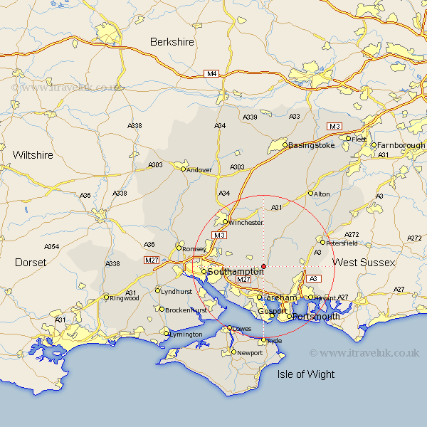
Hampshire Map Showing Location of Swanmore
Population: 2561
Area Size (ha): 73
District: Winchester
Easting: 458552 Northing: 115267
Latitude: 50.93 Longitude: -1.17
 = Swanmore
Area Size (ha): 73
District: Winchester
Easting: 458552 Northing: 115267
Latitude: 50.93 Longitude: -1.17
= Swanmore
This Swanmore map below is supplied by Google. Use the tools in the top left corner to zoom into street level or zoom out for a road map, you may also need to zoom in to see Swanmore on the map. Click and drag the map to move around. If the map fails to load try and refresh your browser or zoom in or out (+ or -).
Update - it seems Google no longer allow people to use their maps for free! This Swanmore map sometimes loads and sometimes gives a error. I am working on a solution.
Closest 30 Towns or Cities to Swanmore (Population over 500)
Shidfield 2.19km Shedfield 2.19km Soberton 2.34km Droxford 2.98km Waltham Chase 2.98km Wickham 3.71km Bishop's Waltham 3.96km Bishops Waltham 3.96km Corhampton 4.38km Upham 5.97km Durley 6.13km Curbridge 6.13km Curdridge 6.13km Hambledon 7.25km Botley 7.25km Southwick 8.2km Fareham 9.34km Owslebury 10.2km East Meon 10.87km West Meon 10.95km Bramdean 11.65km Porchester 11.66km Portchester 11.66km Clanfield 11.68km West End 11.83km Bursledon 11.93km Bishopstoke 12.25km Locks Heath 12.61km Waterloo 12.87km Waterlooville 12.87km