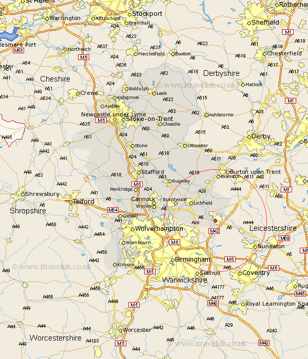
Staffordshire Map Showing Location of Tamworth
Population: 67462
Area Size (ha): 1648
District: Tamworth
Easting: 421437 Northing: 302189
Latitude: 52.62 Longitude: -1.68
 = Tamworth
Area Size (ha): 1648
District: Tamworth
Easting: 421437 Northing: 302189
Latitude: 52.62 Longitude: -1.68
= Tamworth
This Tamworth map below is supplied by Google. Use the tools in the top left corner to zoom into street level or zoom out for a road map, you may also need to zoom in to see Tamworth on the map. Click and drag the map to move around. If the map fails to load try and refresh your browser or zoom in or out (+ or -).
Update - it seems Google no longer allow people to use their maps for free! This Tamworth map sometimes loads and sometimes gives a error. I am working on a solution.
Closest 30 Towns or Cities to Tamworth (Population over 500)
Tamworth 0km Fazeley 1.13km Drayton Bassett 2.92km Wigginton 3.7km Elford 7.74km Clifton Campville 8.66km Edingale 9.26km Whittington 9.3km Shenstone 10.29km Alrewas 11.62km Lichfield 11.65km Hammerwich 14km Aldridge 15.86km Yoxall 16.28km Burntwood 16.39km Brownhills 16.98km Longdon 17.48km Pelsall 18km Rushall 18.1km Branston 18.56km Tatenhill 18.56km Armitage 18.71km Norton Canes 20.5km Walsall 21.46km Wallsall 21.46km Anslow 22.24km Colton 22.92km Wyrley 23.24km Great Wyrley 23.24km Hednesford 23.28km